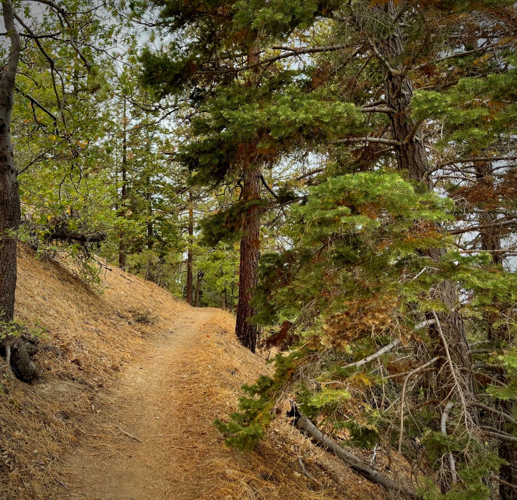
MALIBU LAKE TRAIL
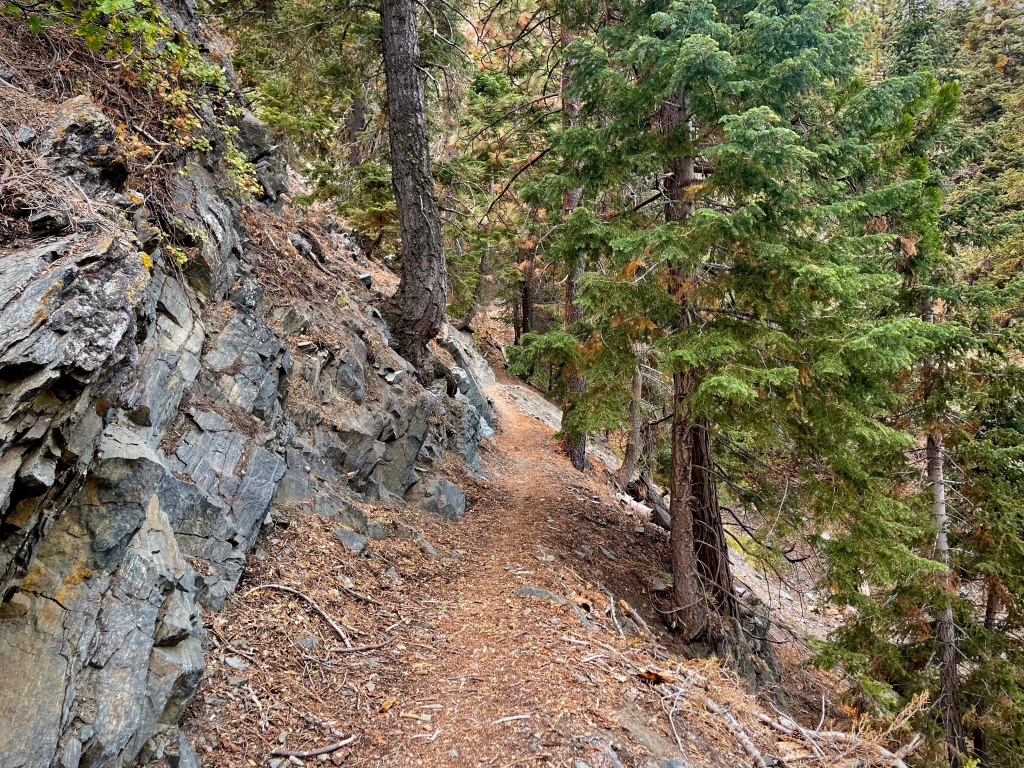
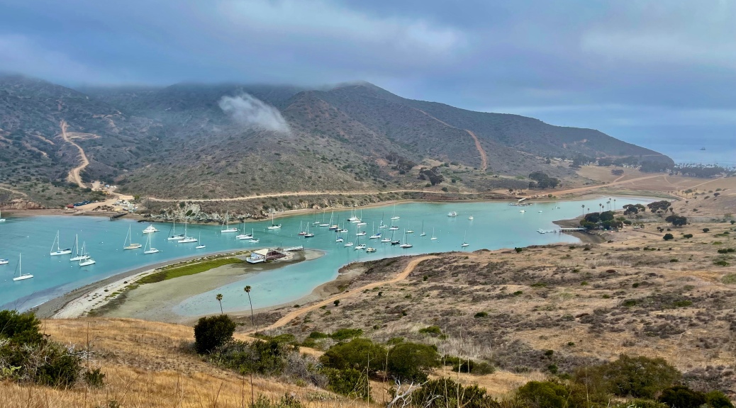
ROCK POOL AND CENTURY LAKE TRAILS
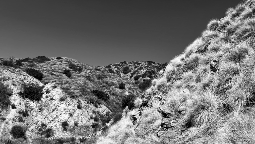
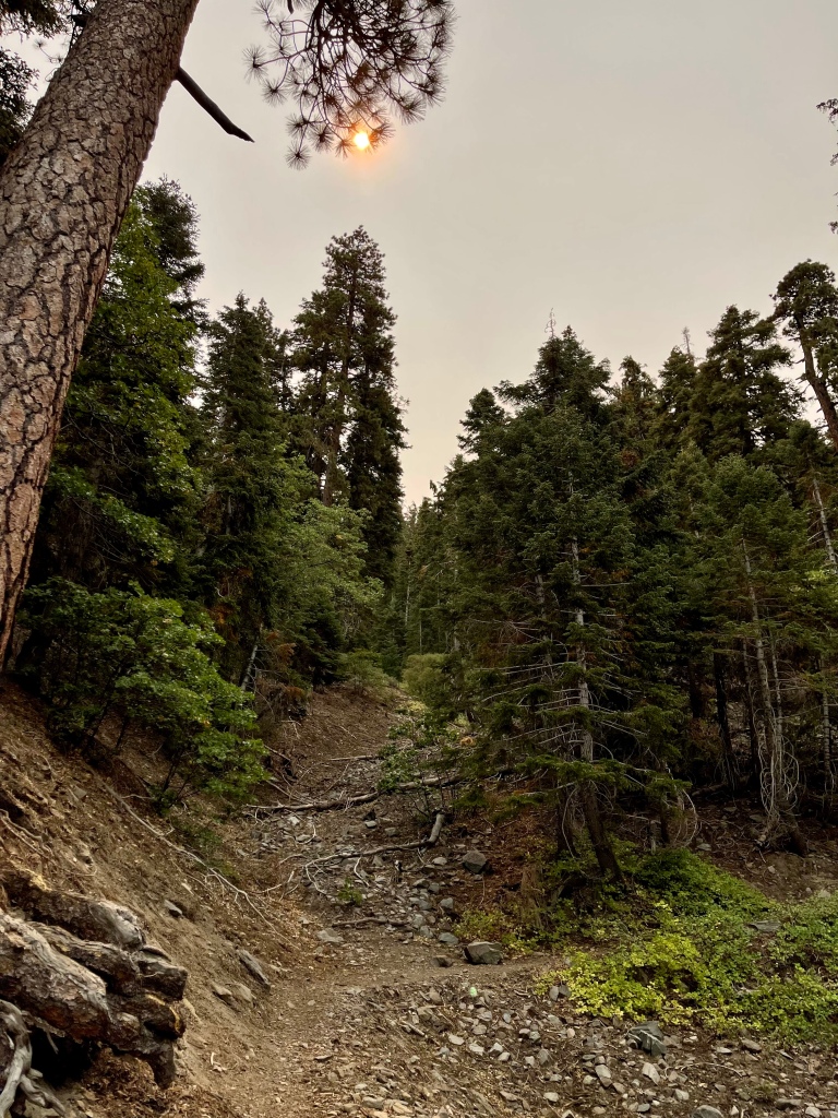
LOST CABIN TRAIL
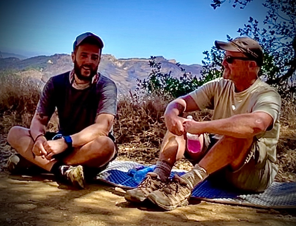
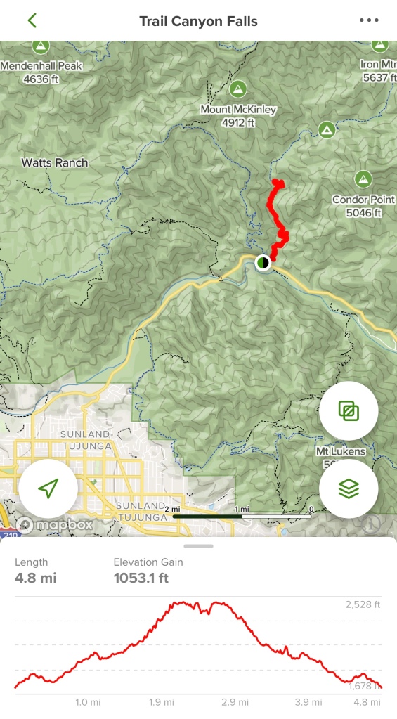
Activity: Day Hike
11.5 miles, 1290’ elevation gain, >5 hour duration, rated Moderate
Date: 3-14-22
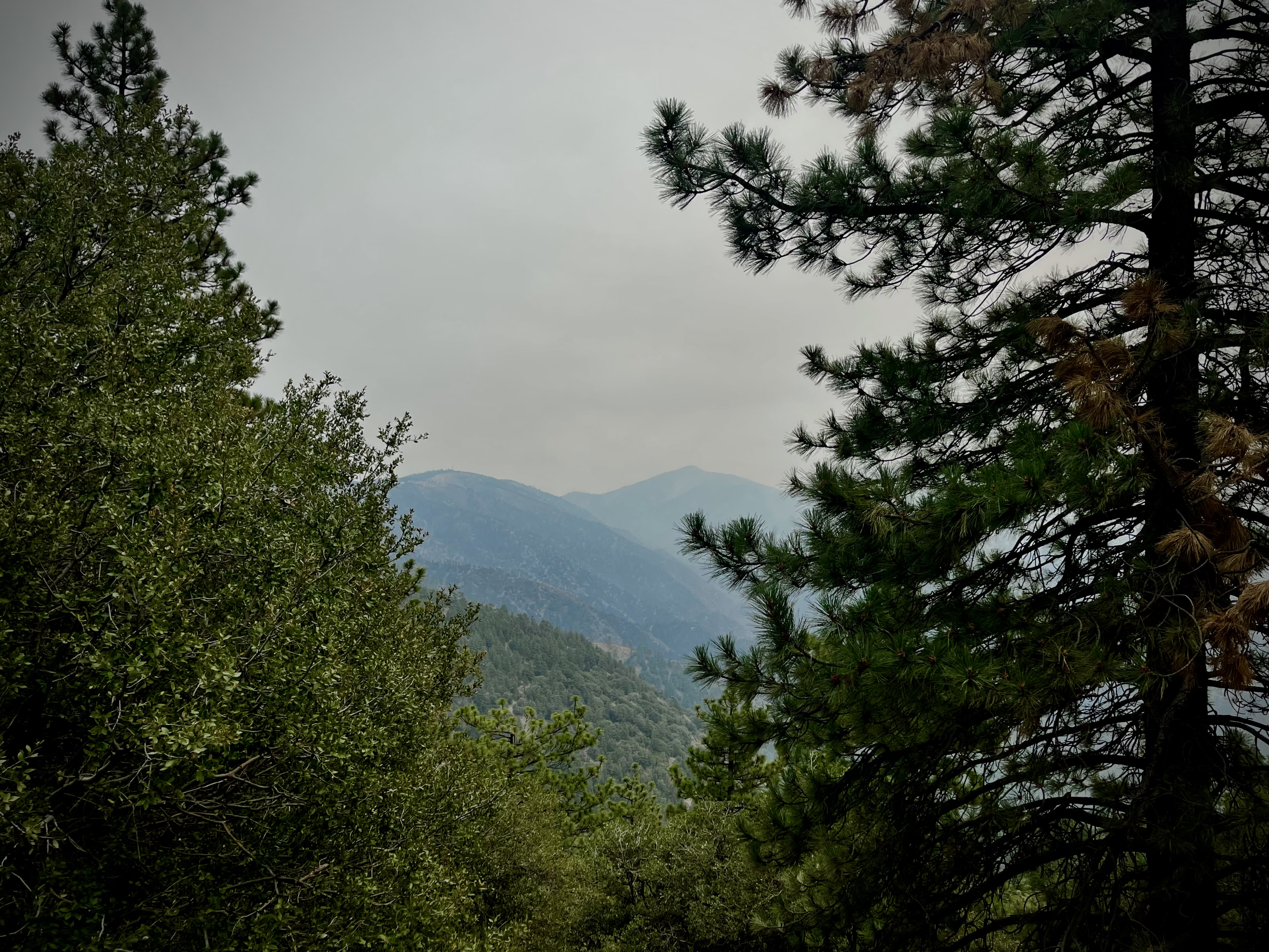
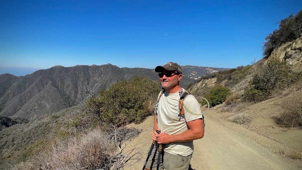
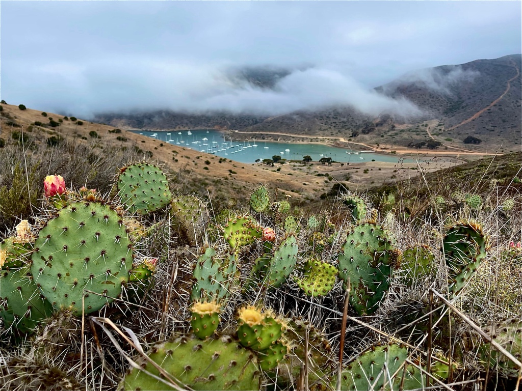
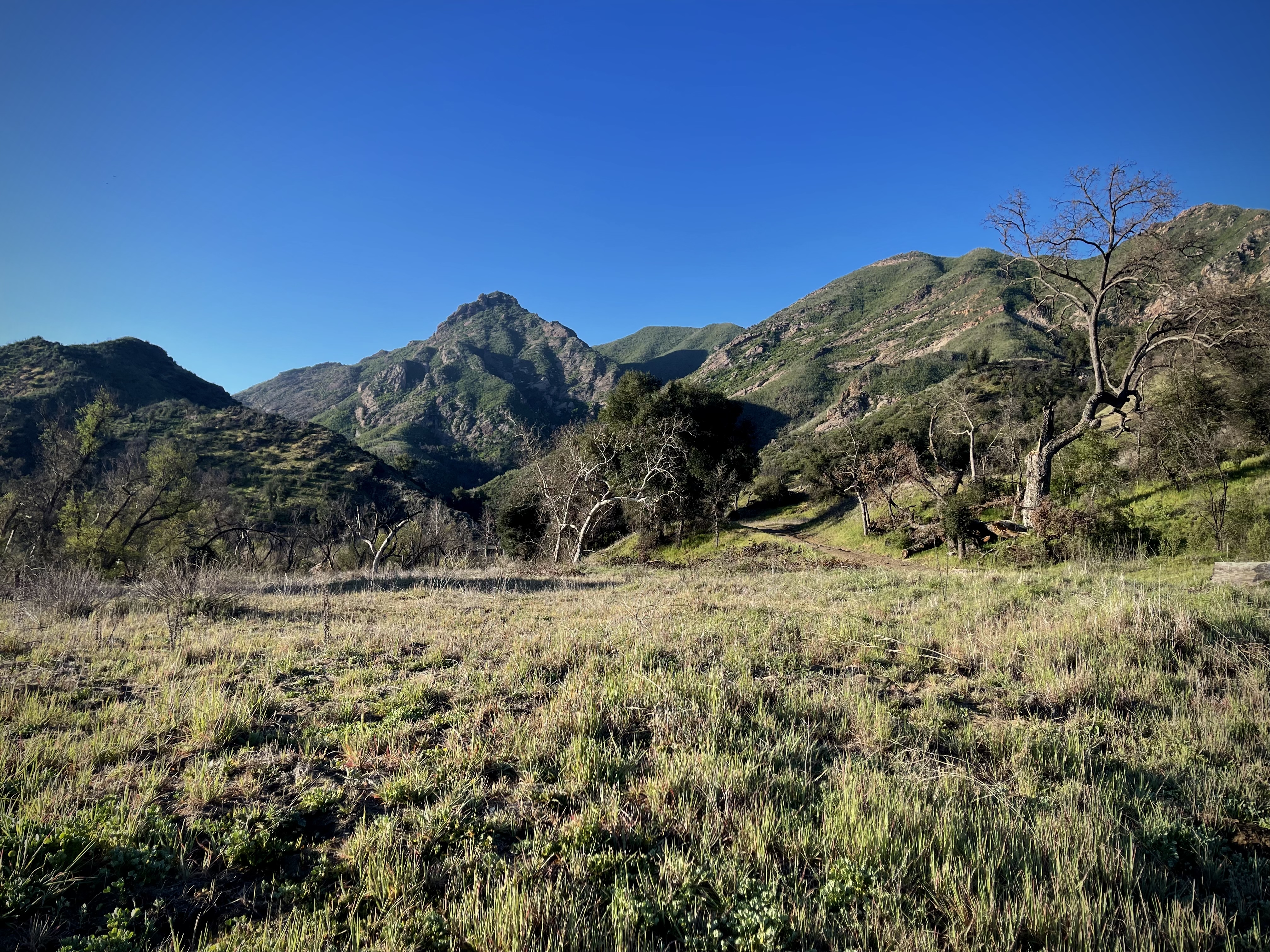
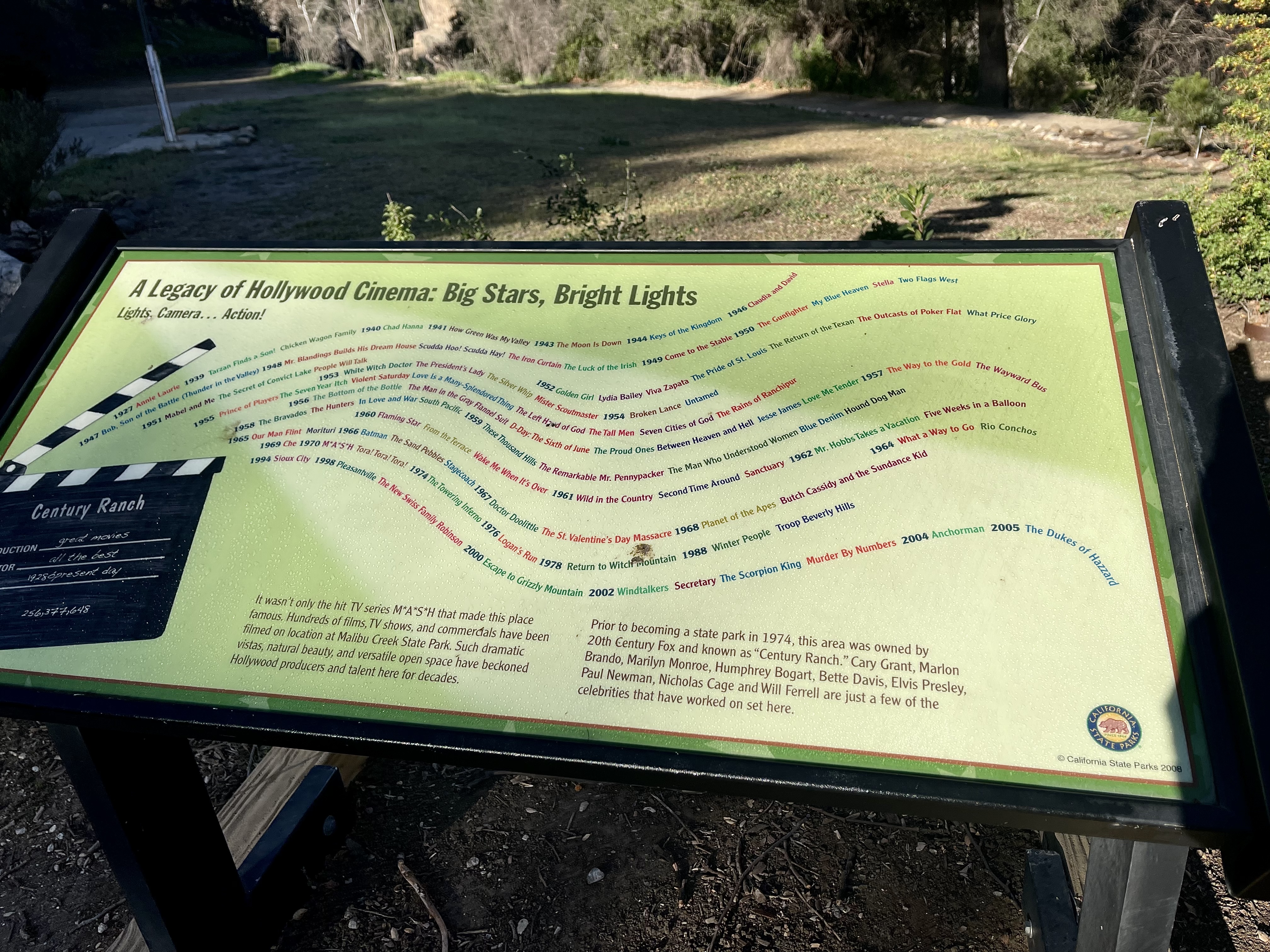
This was my first venture into Malibu Creek State Park in the Santa Monica Mountains. It is a beautiful place and it easy to see how it has lent itself as a backdrop to so many Hollywood Movies and TV Shows. There is a $15 charge to enter the park. I crammed as much into my visit as I could trying to see as much of the park as I possible. My journey encompassed several of the parks hiking routes.
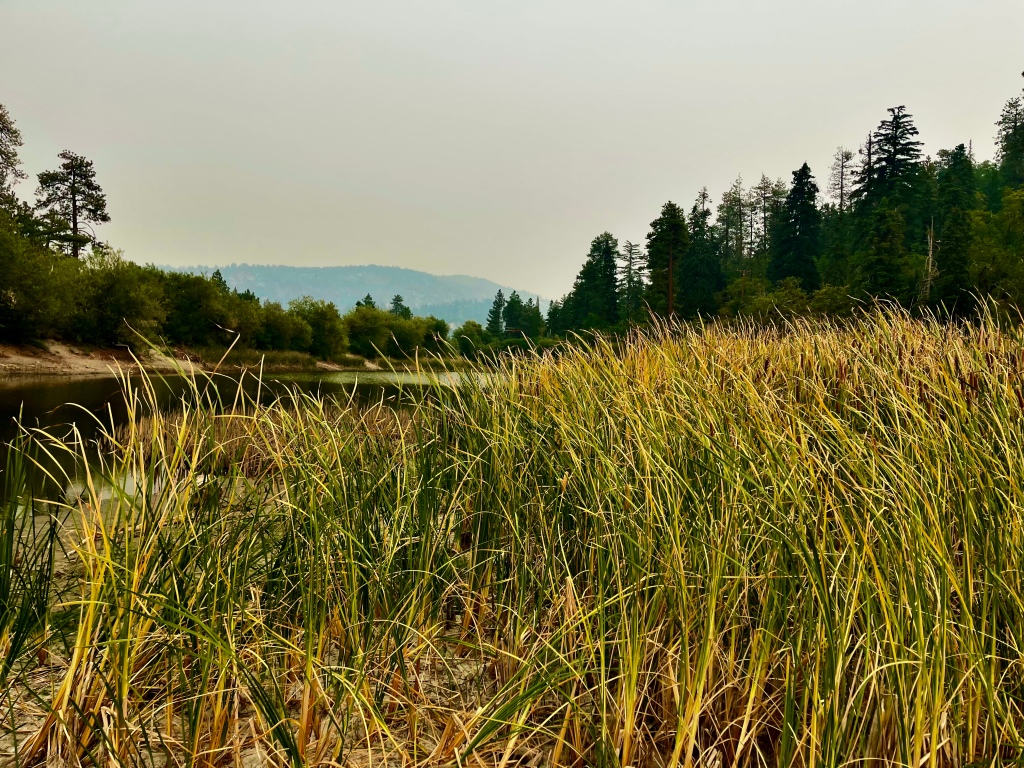
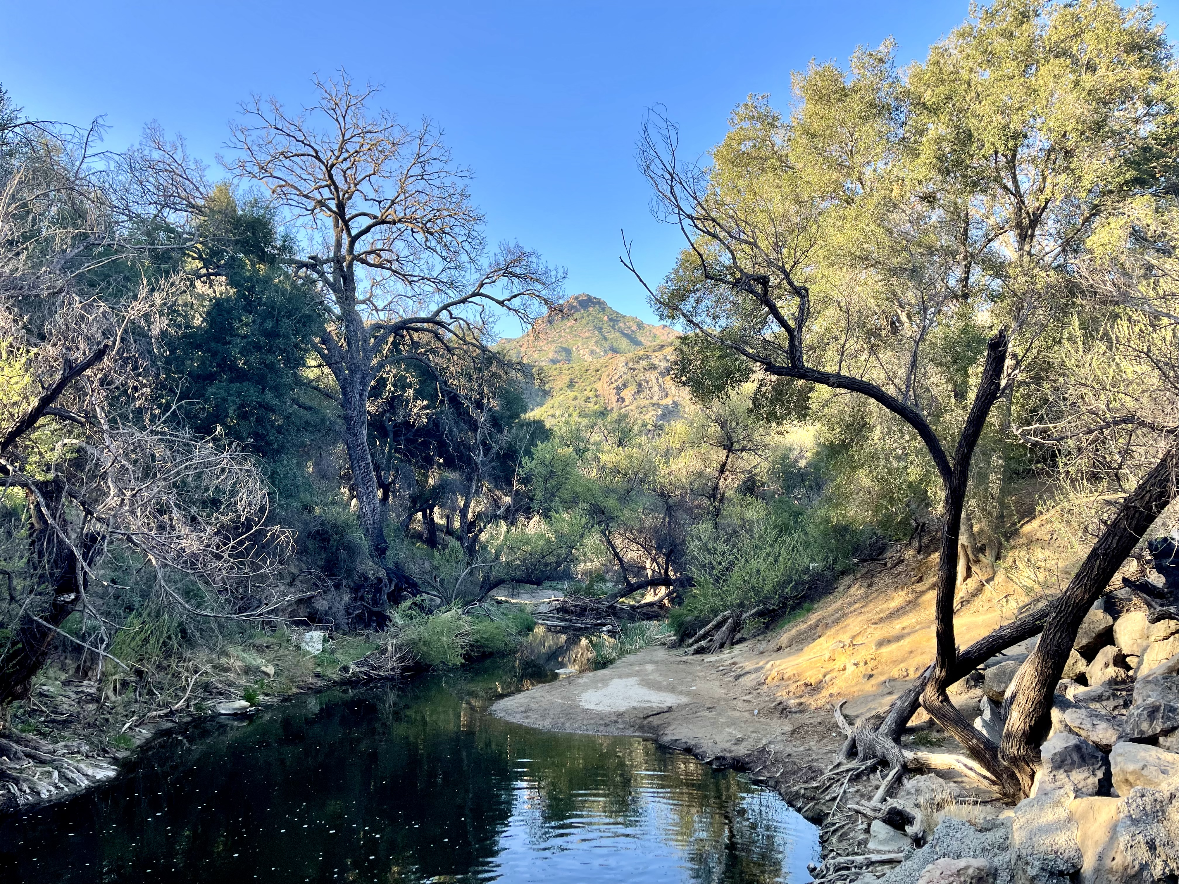
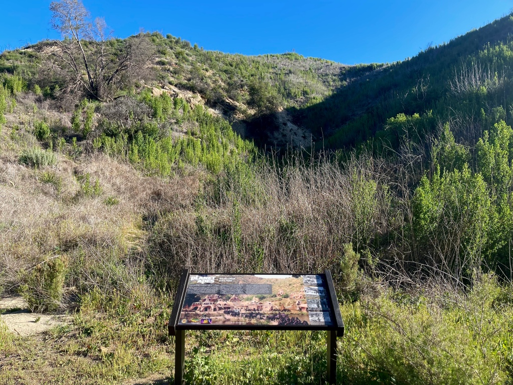
From the parking area I crossed Los Virgenes Creek, a quiet and serene setting with shade trees. Then I walked along Crags Road to the Visitor Center that was not open on the day I was there, but there still were some interesting displays of movie memorabilia. I crossed the bridge over Malibu Creek continuing on to the Rock Pool and the Century Lake Dam.
On the way to the MASH site there is a little cement damn that does not completely reach the other side of a stream that is a few feet deep. A person there ahead of me exclaimed, “apparently there is some swimming involved.” There were however, a couple limbs perched precariously in an long X. After looking it over I cautiously inched my way across. He opted out and turned back.
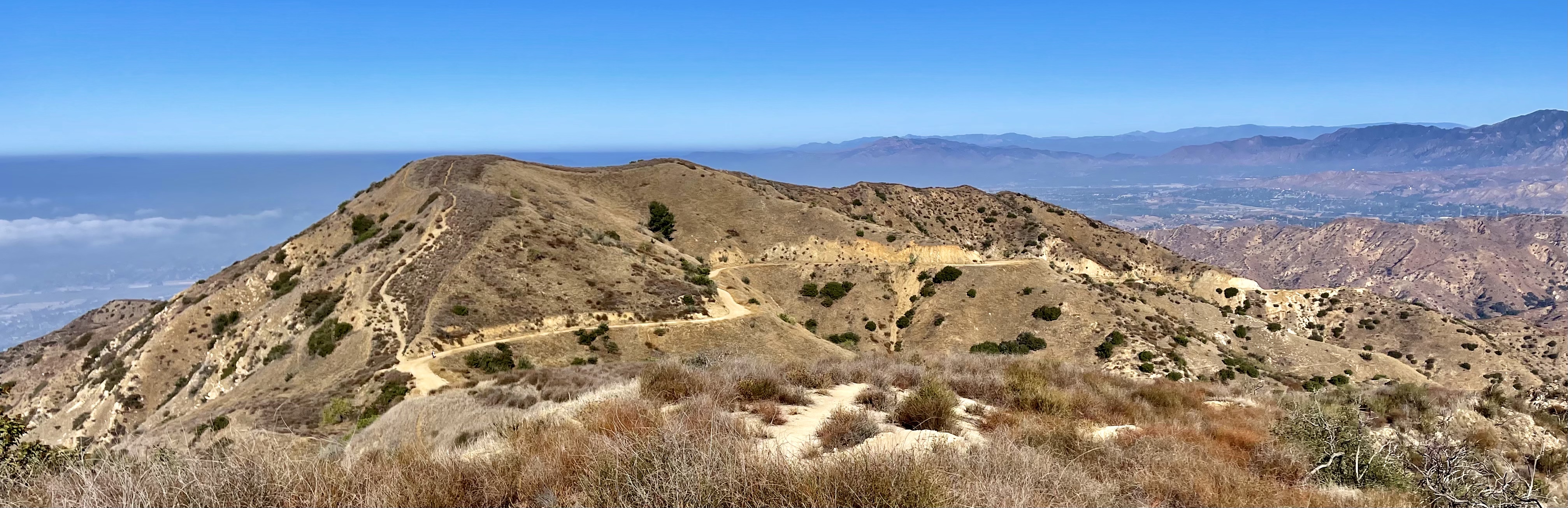
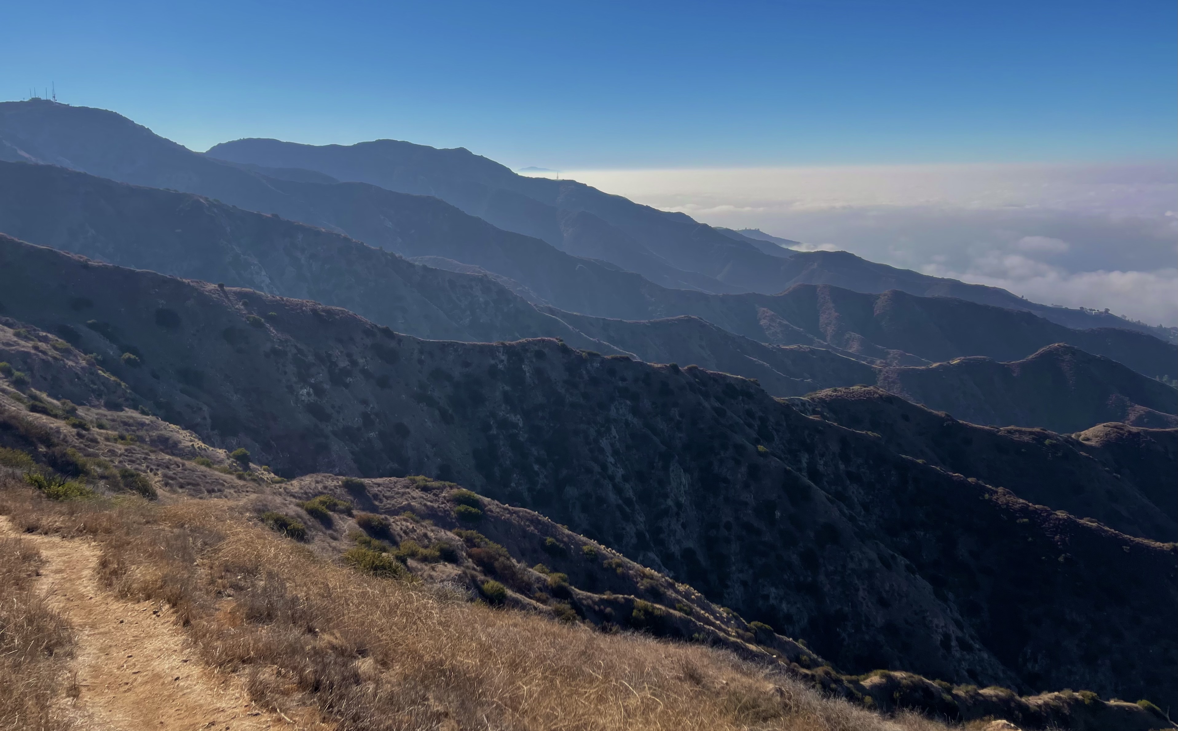
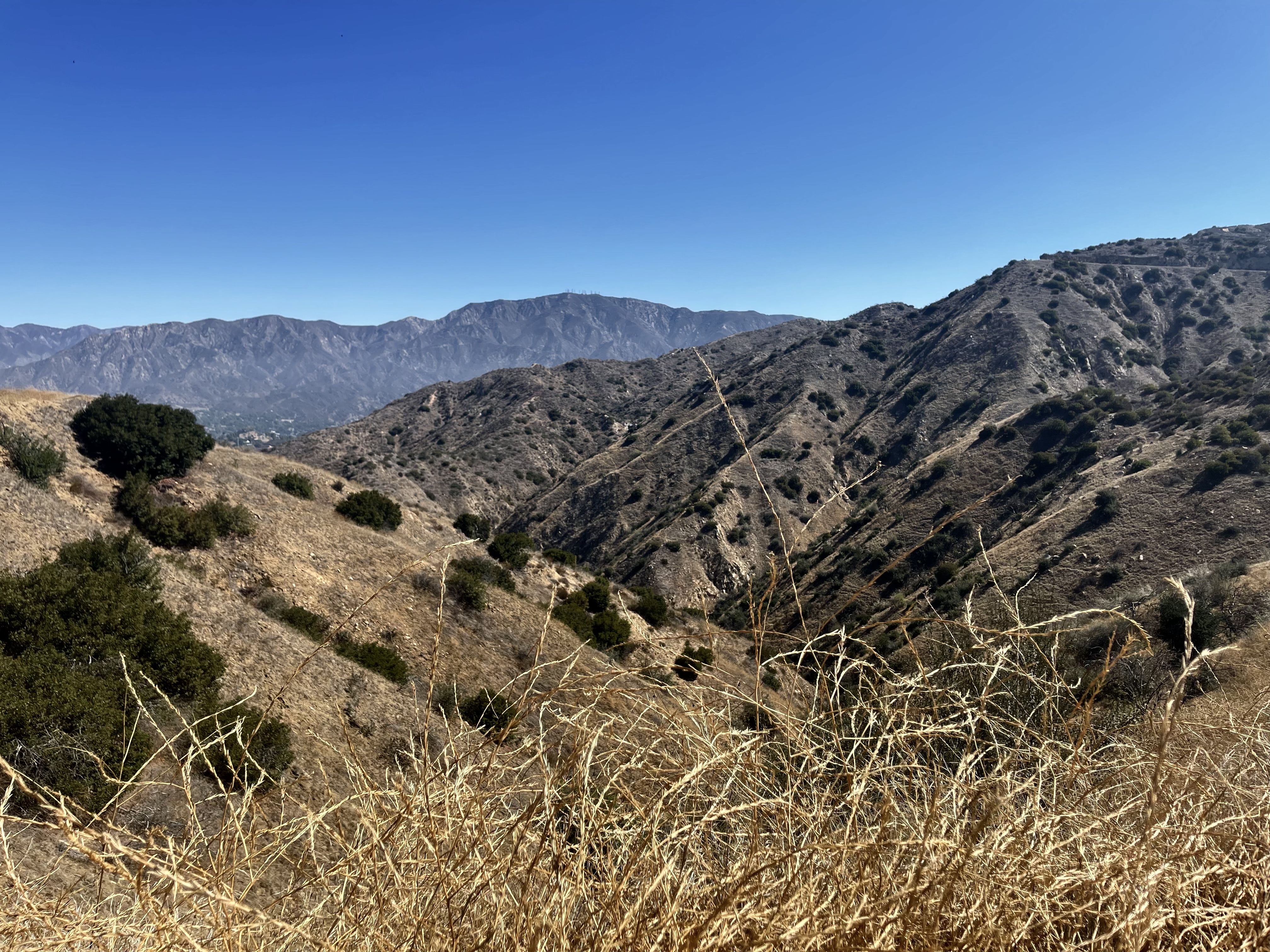
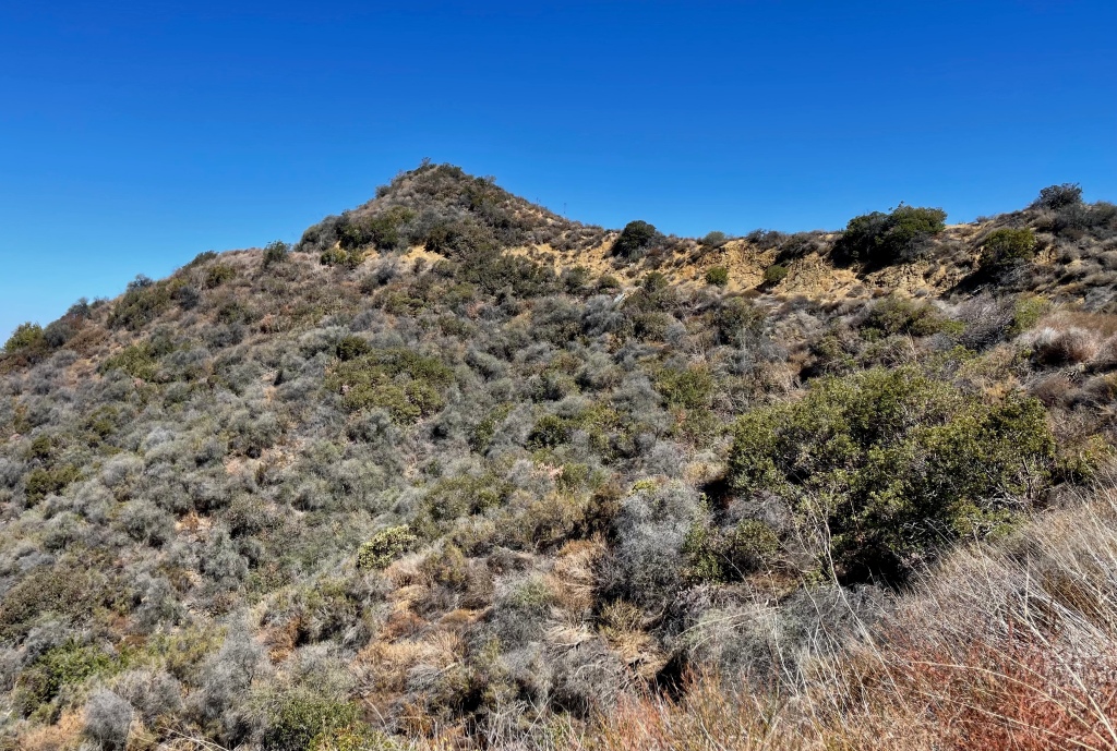
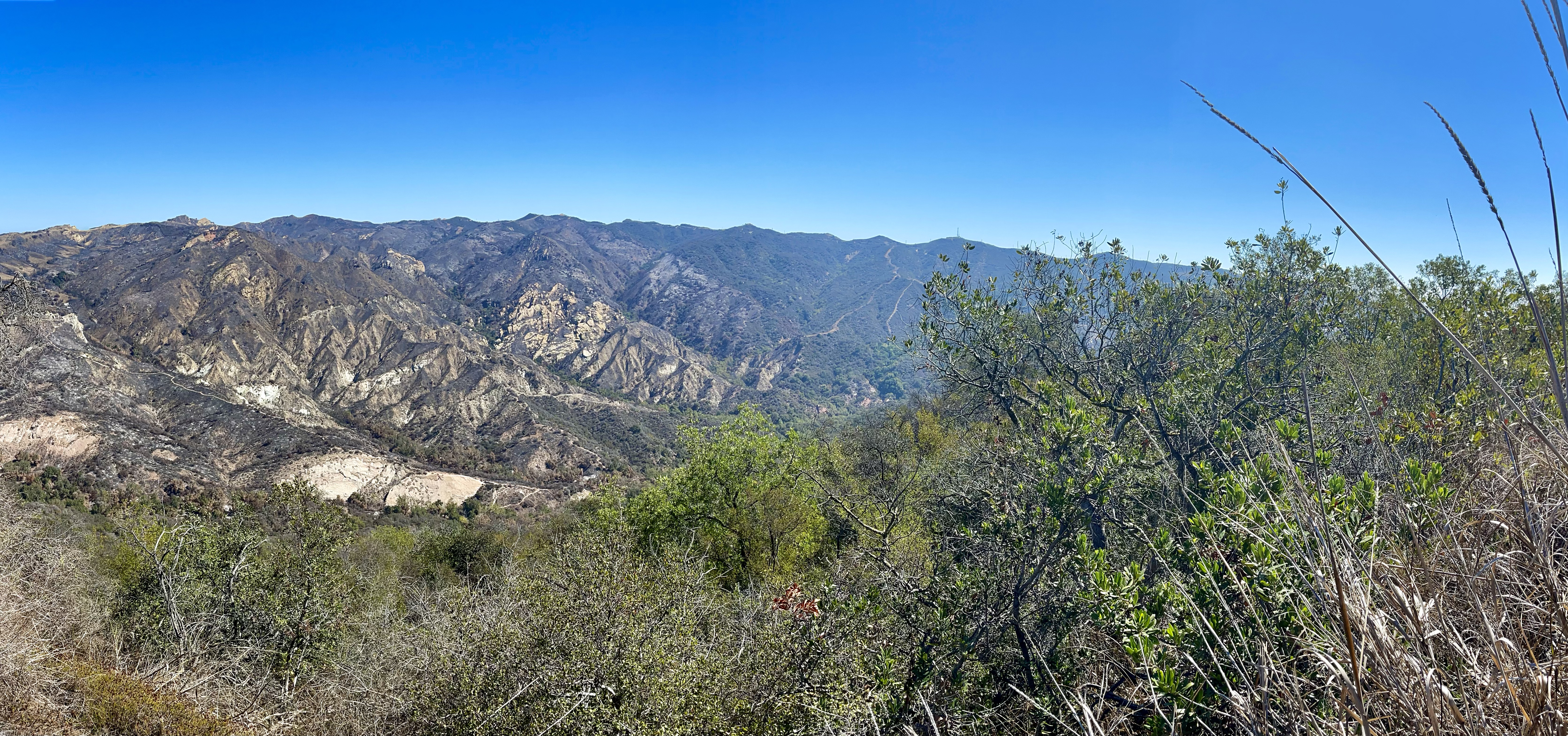
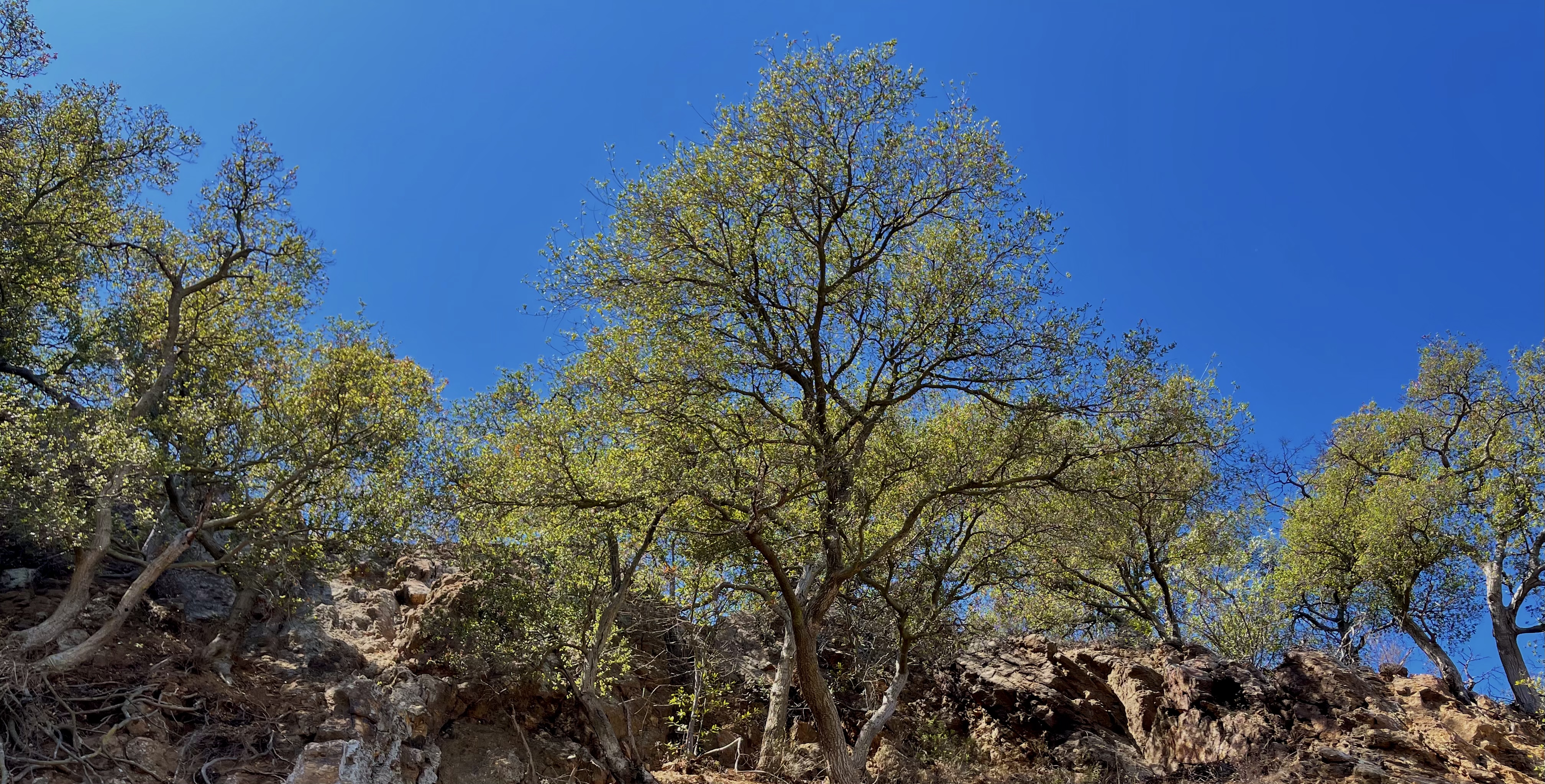
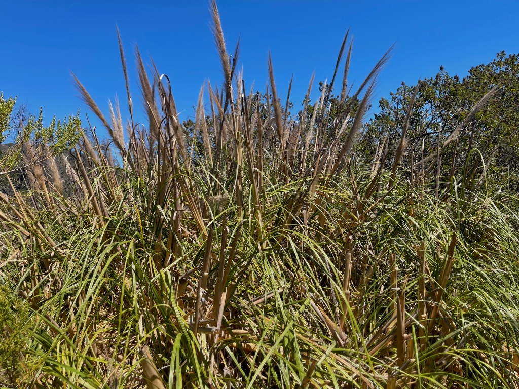
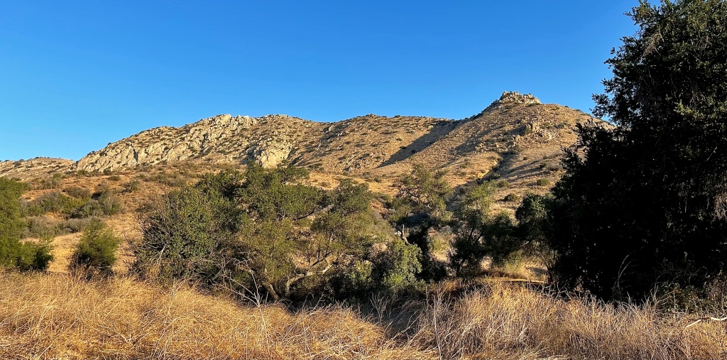
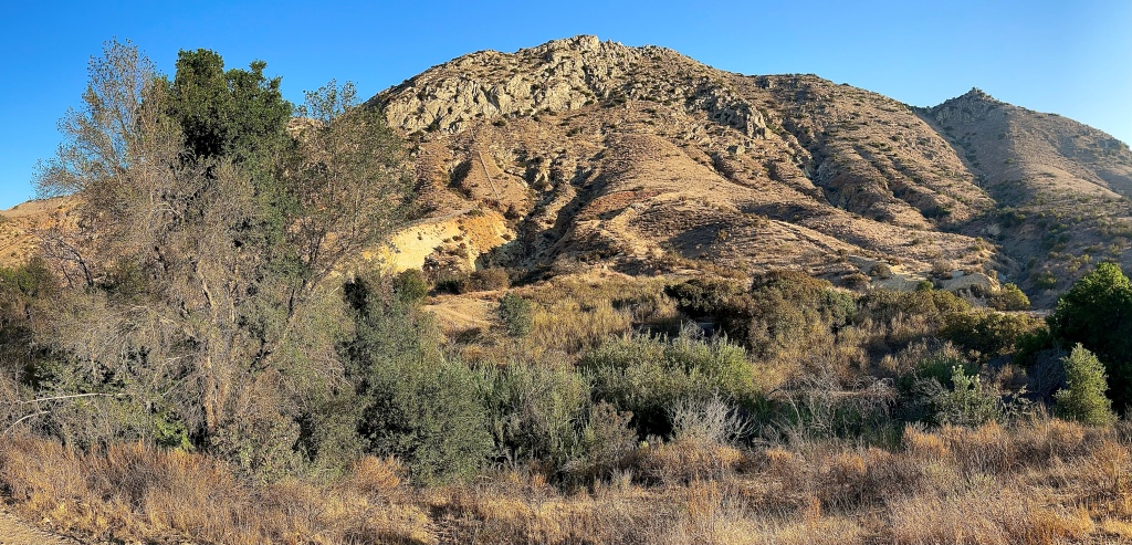
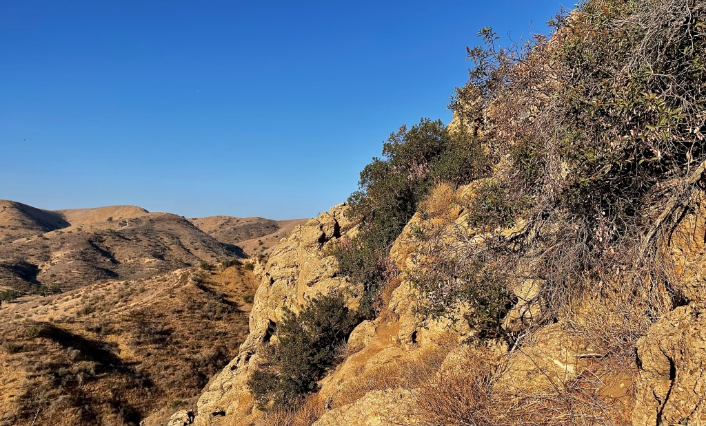
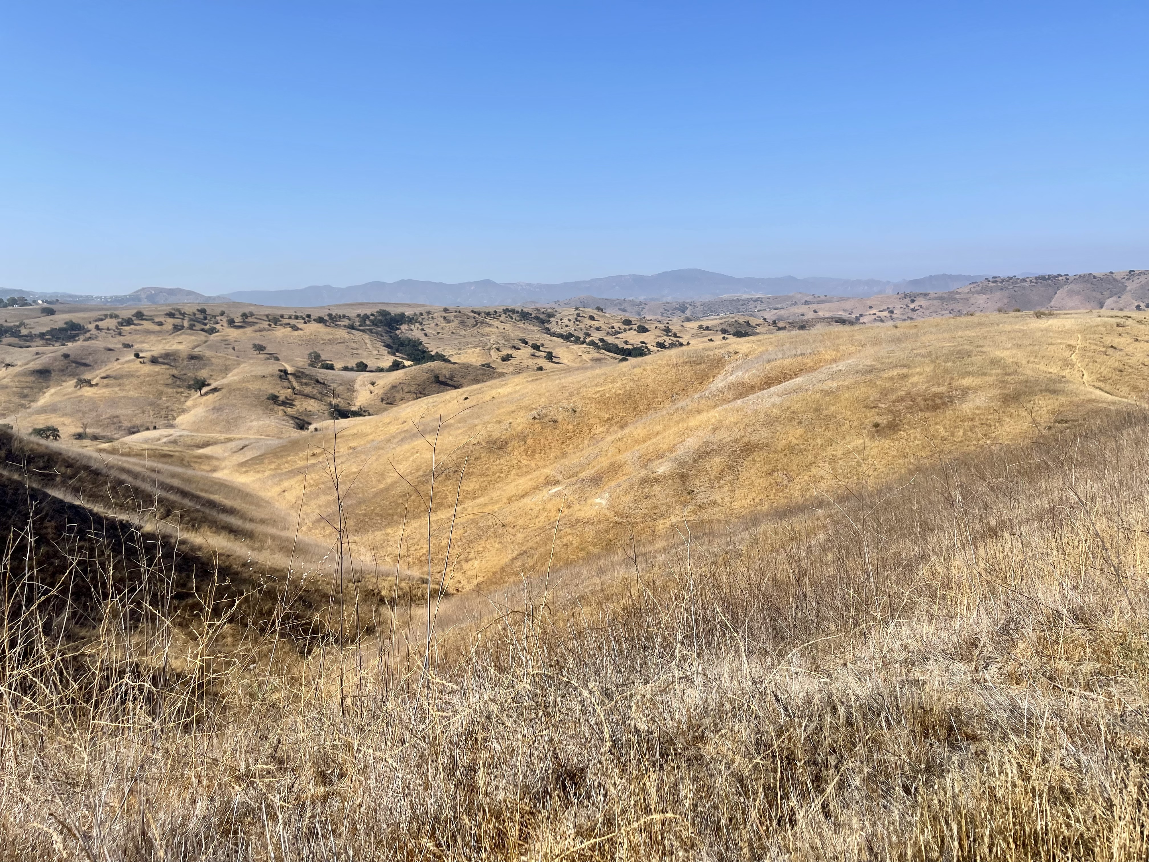
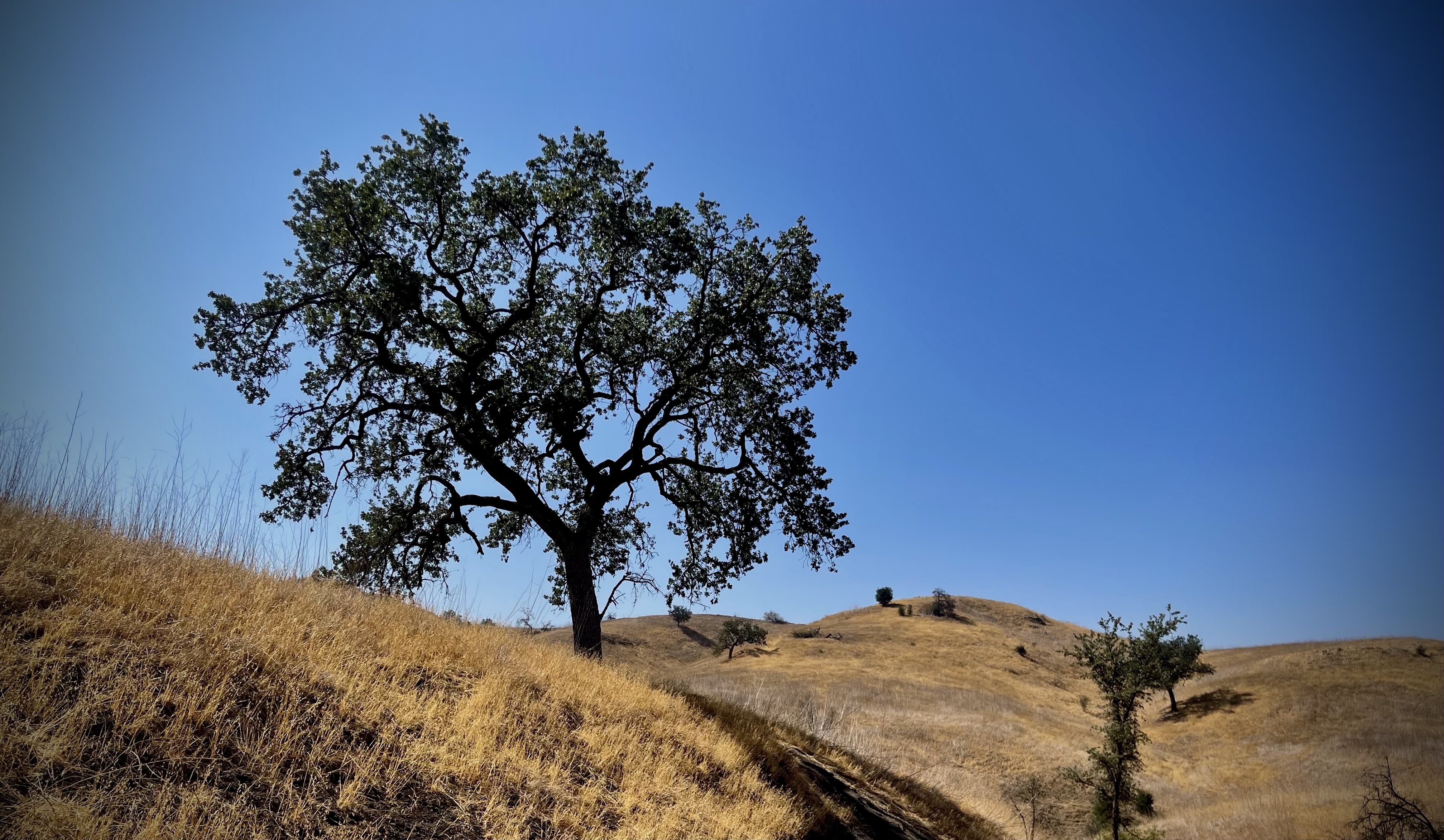
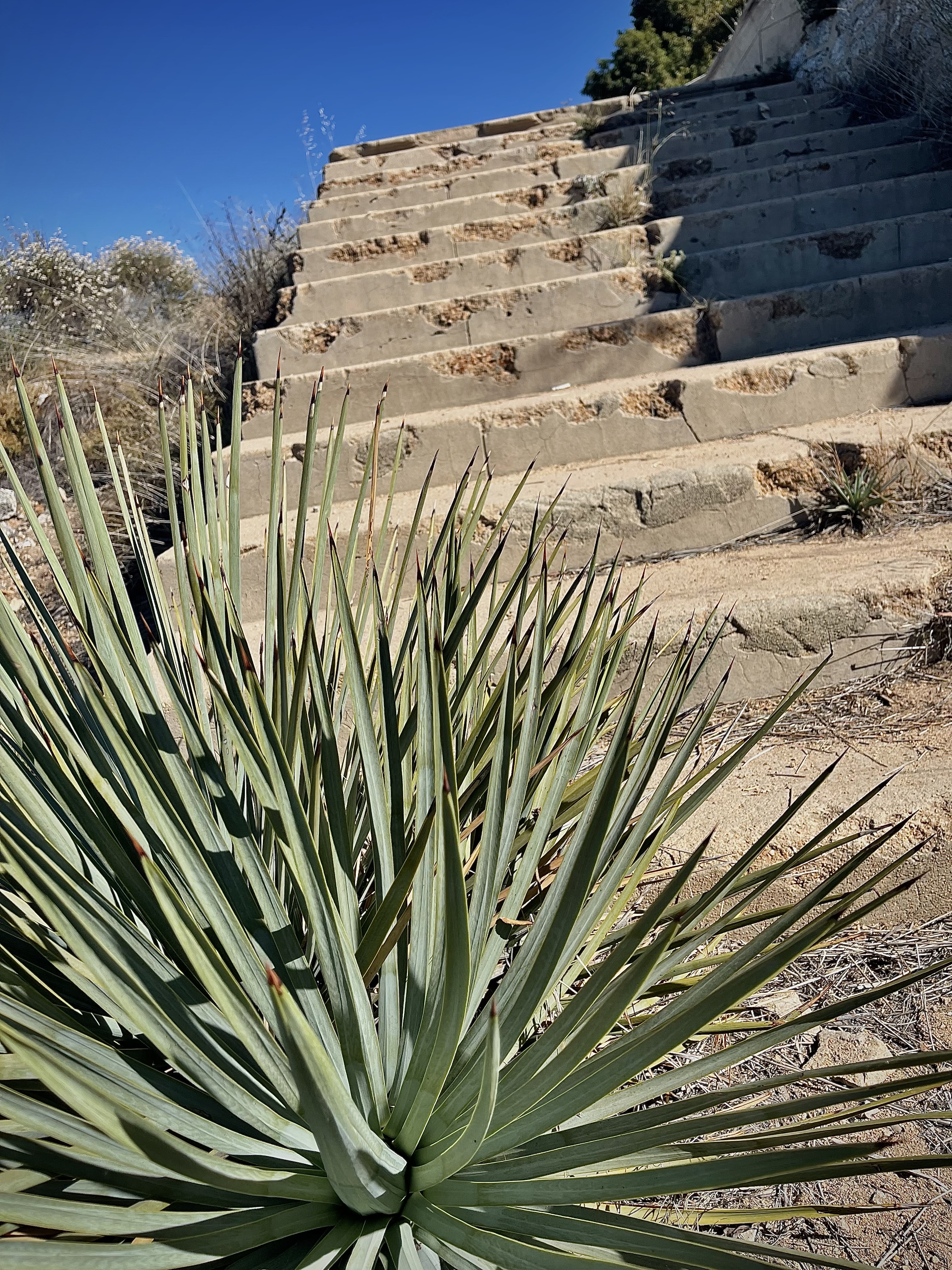
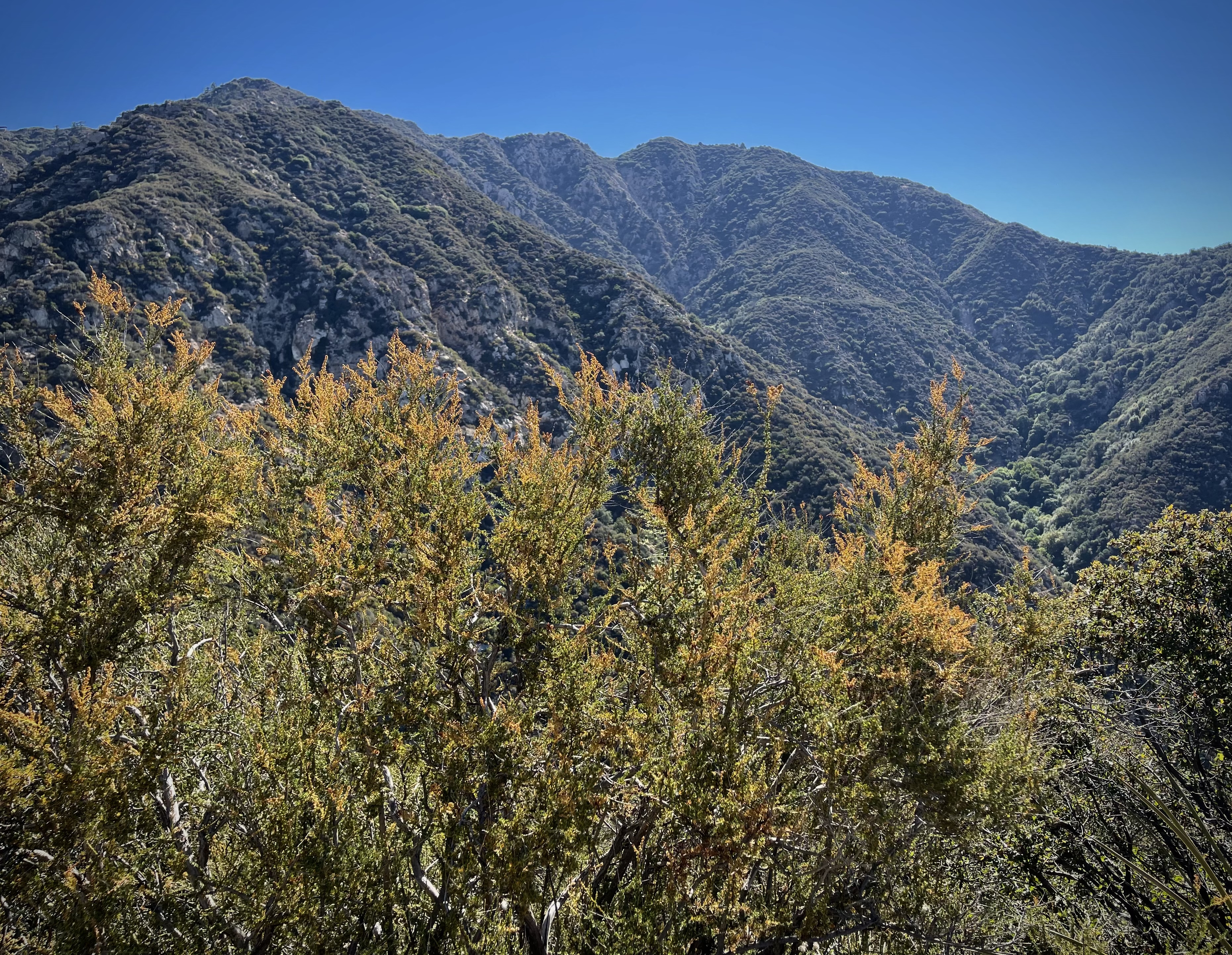
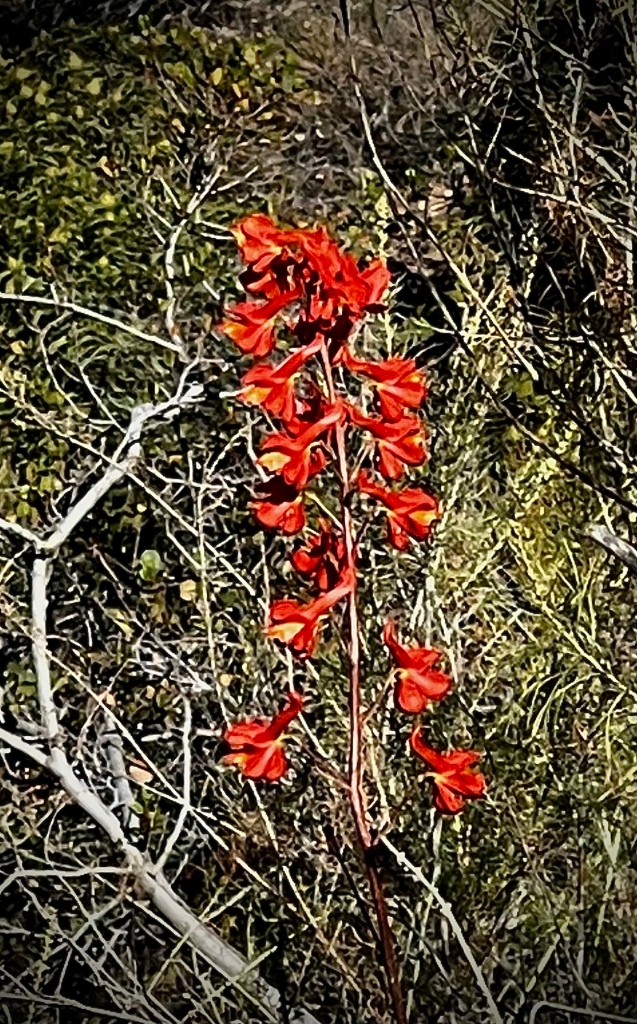
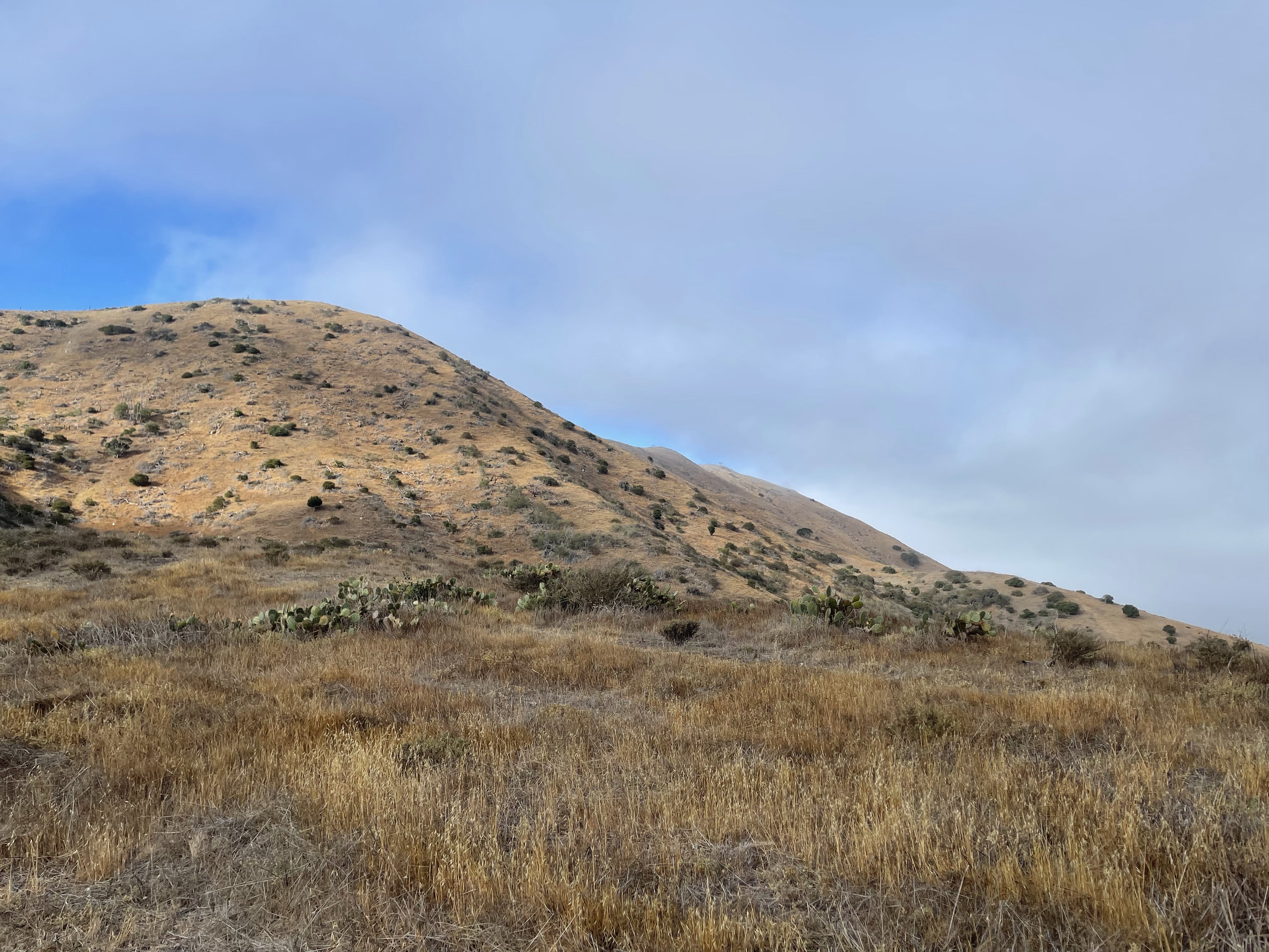
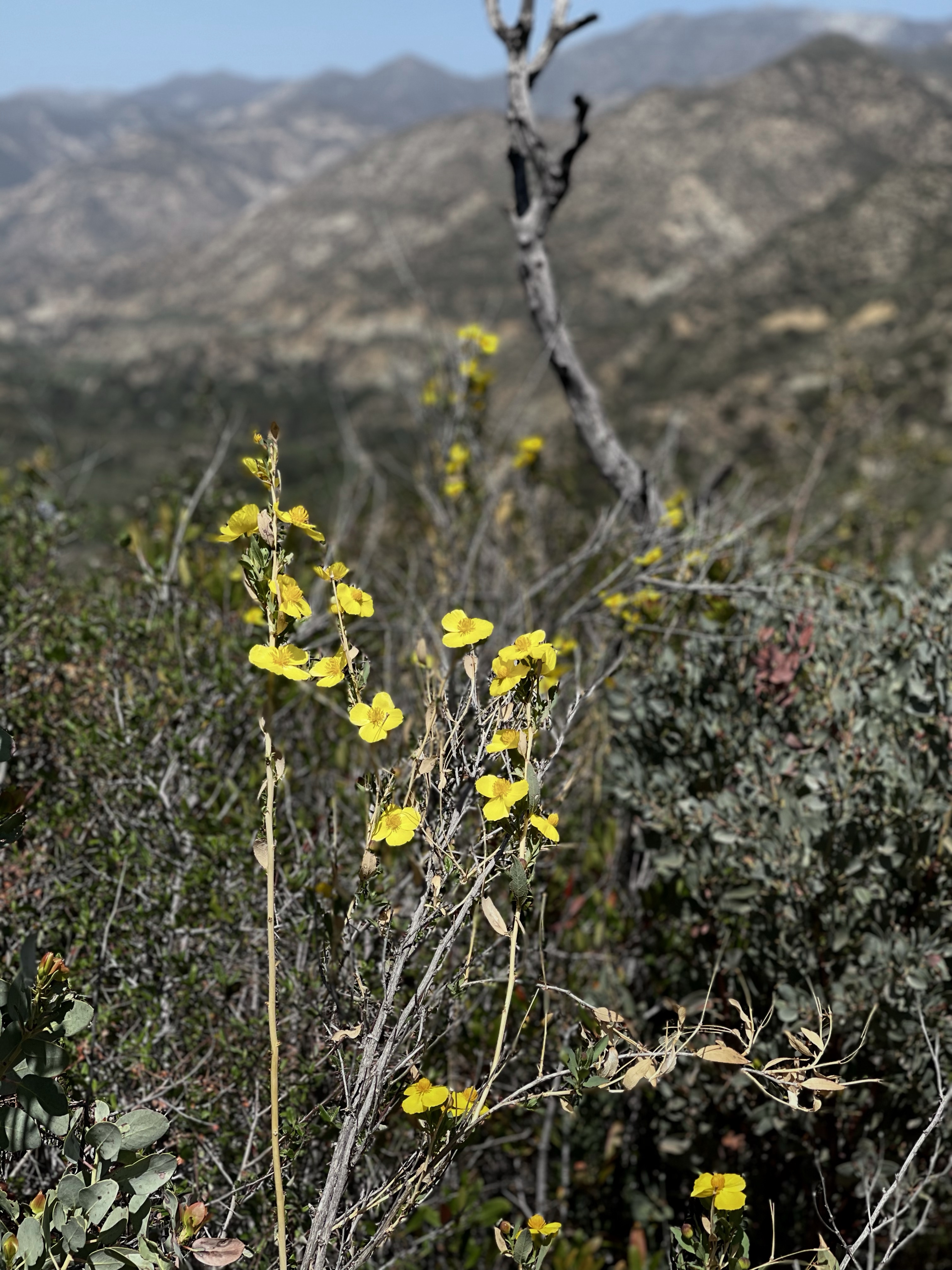
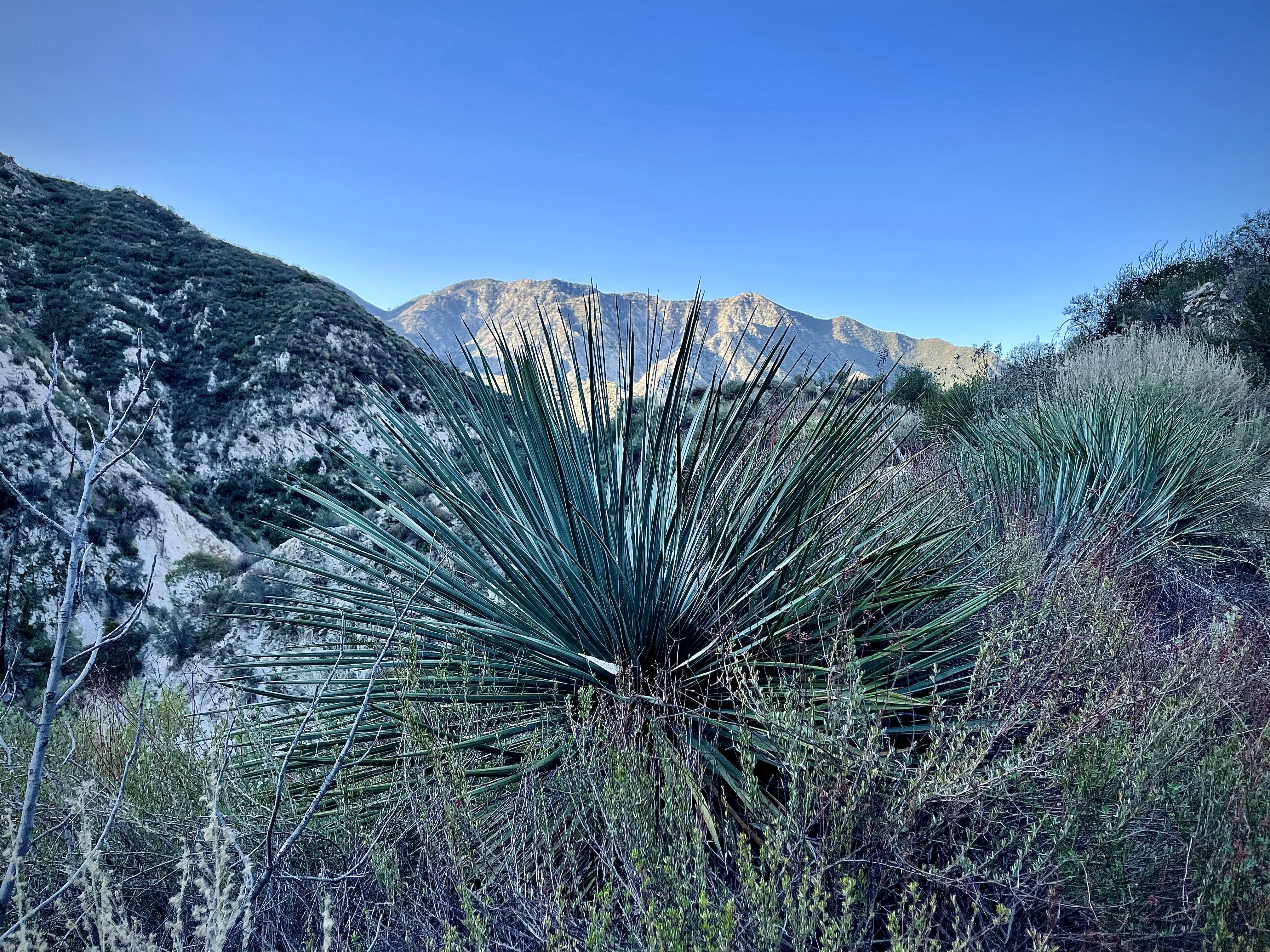
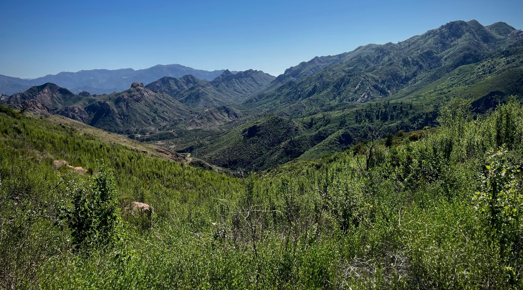
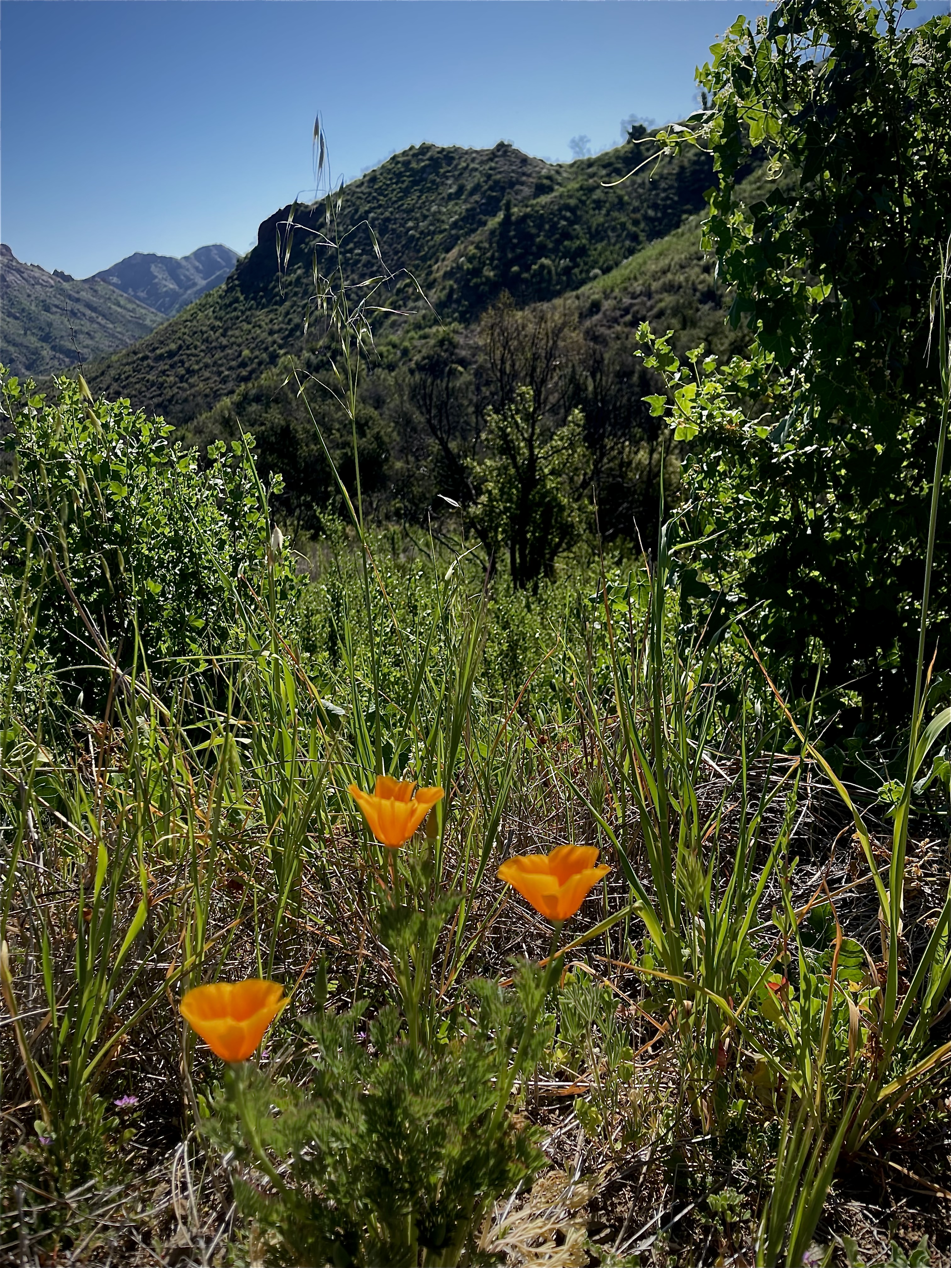
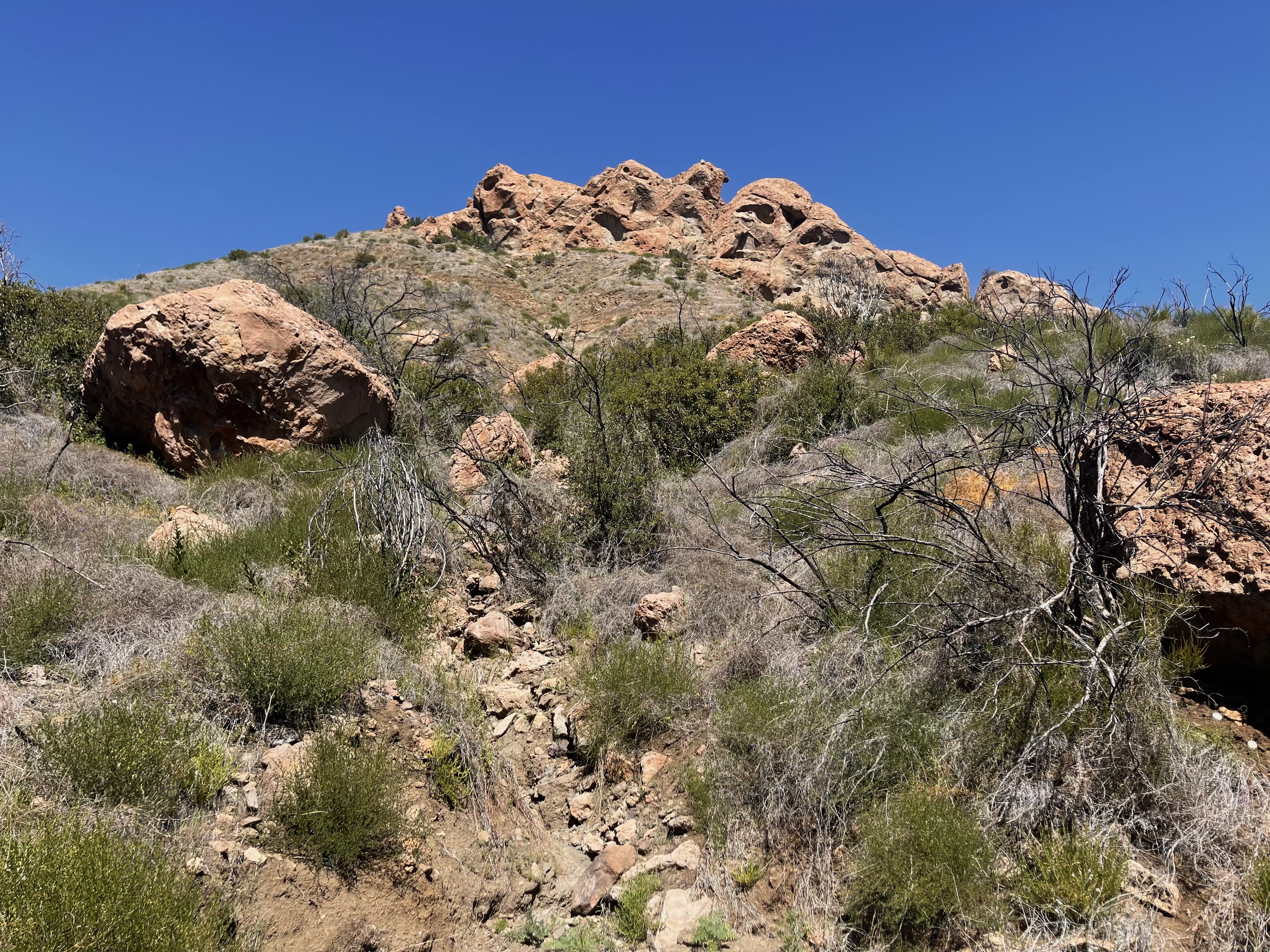
The sun filtering through the oaks as I made my way beside a gentle stream, green rolling hills and jagged rock outcroppings. It was evident at some point both fire and flood had rushed through this little valley.
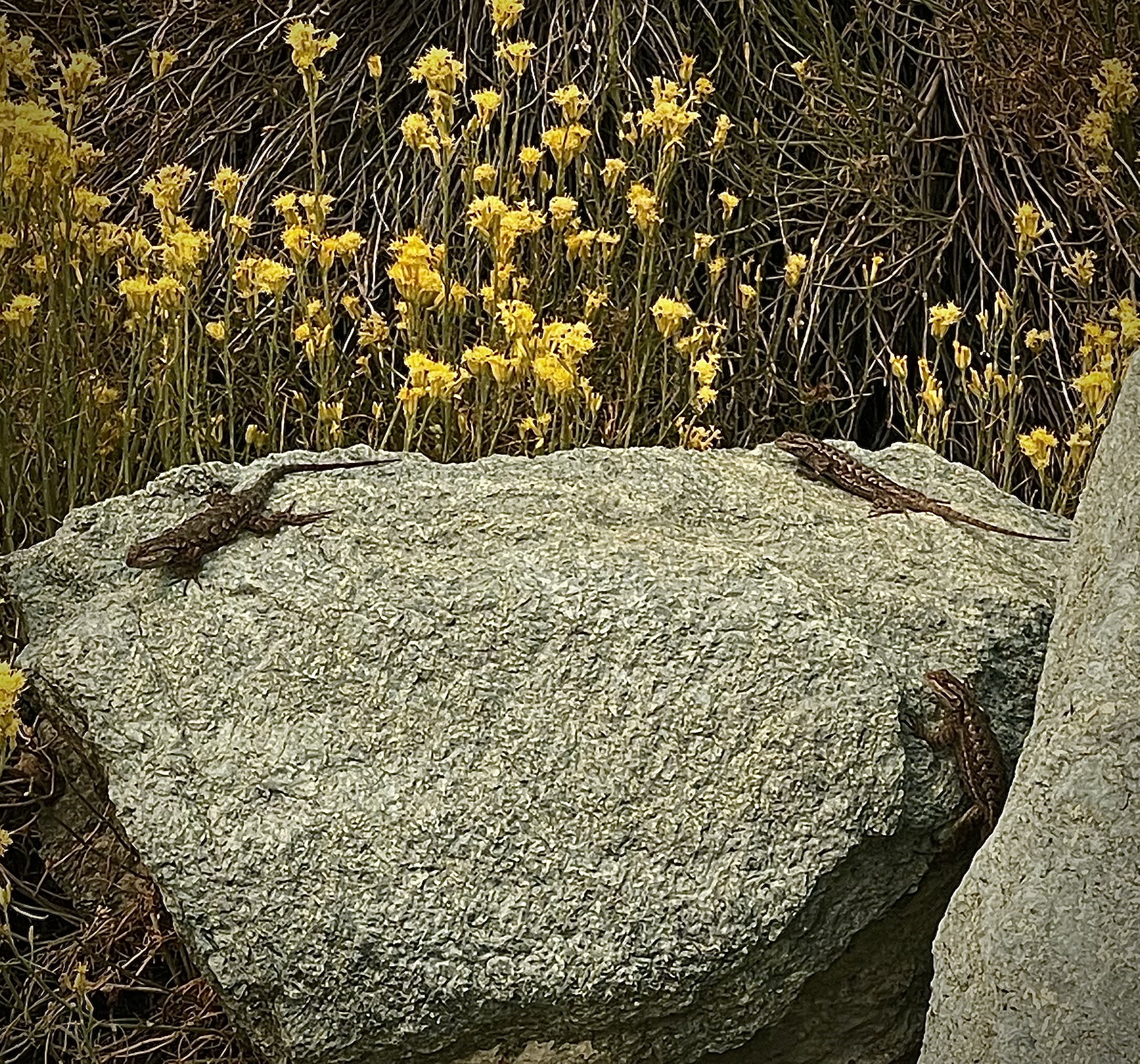
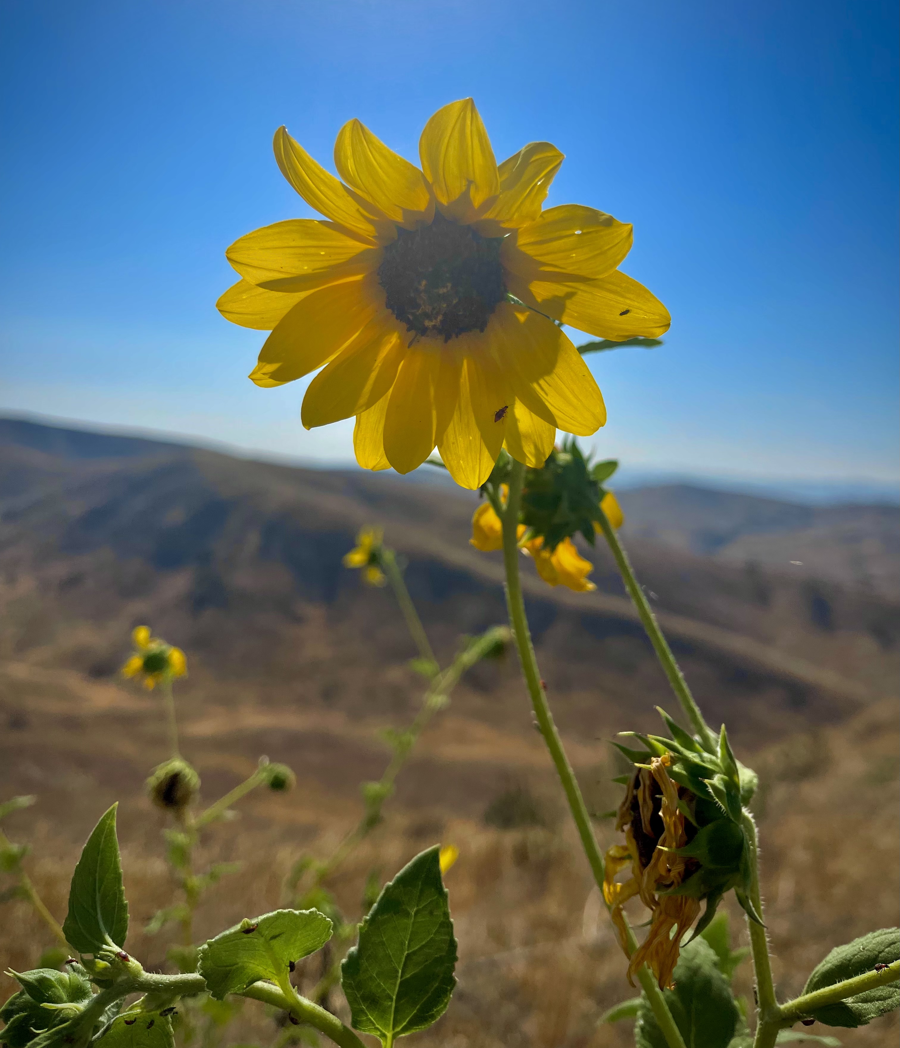
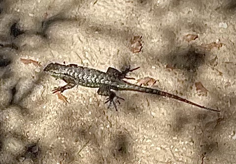
During my time at Malibu Creek State Park I viewed some of the park’s inhabitants, a cute furry bunny, the world’s fastest bird- the peligren falcon, soaring vultures, lots of lizards, very long very skinny very fast snake, and two bee swarms that I gave a wide berth.
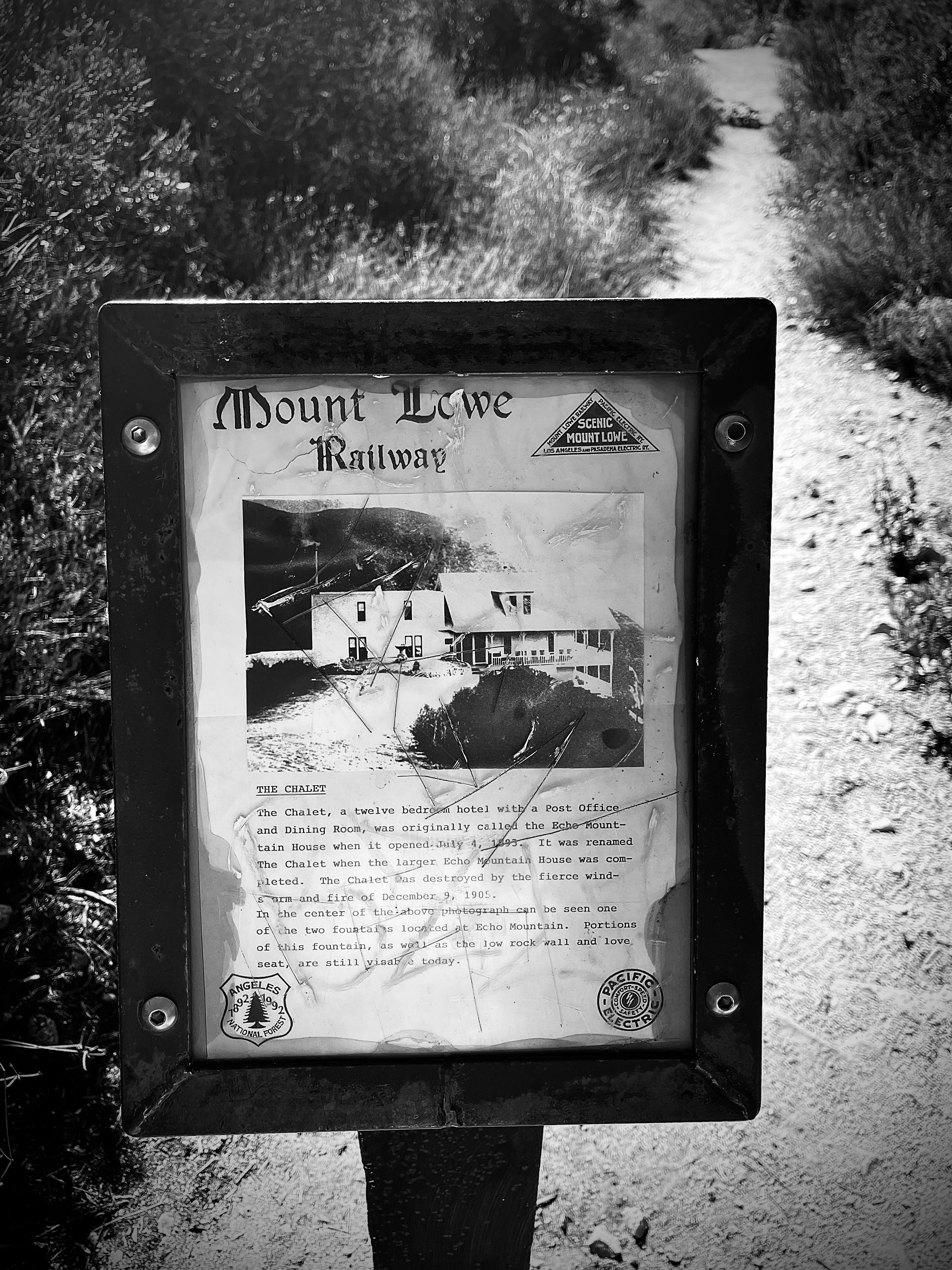
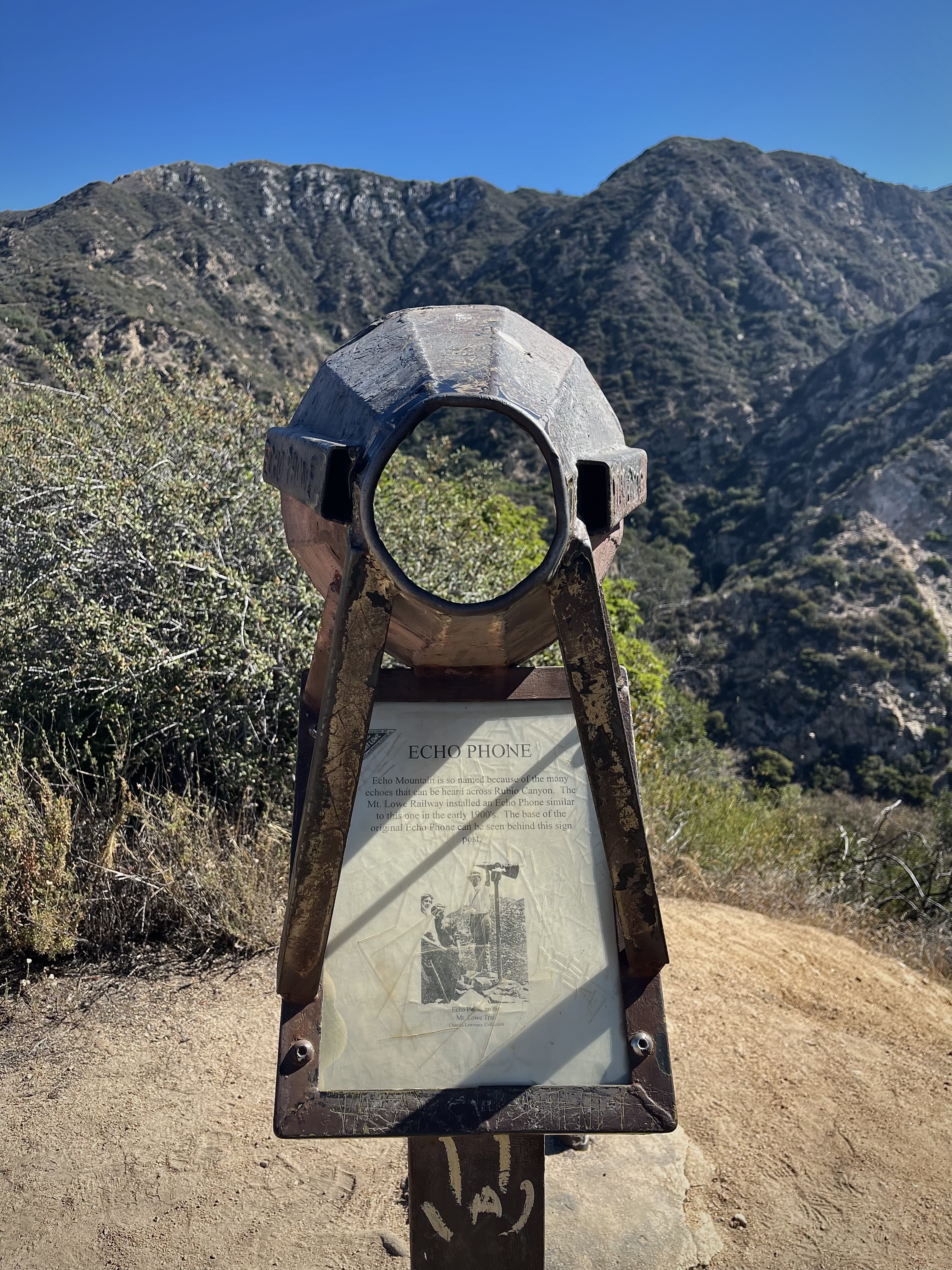
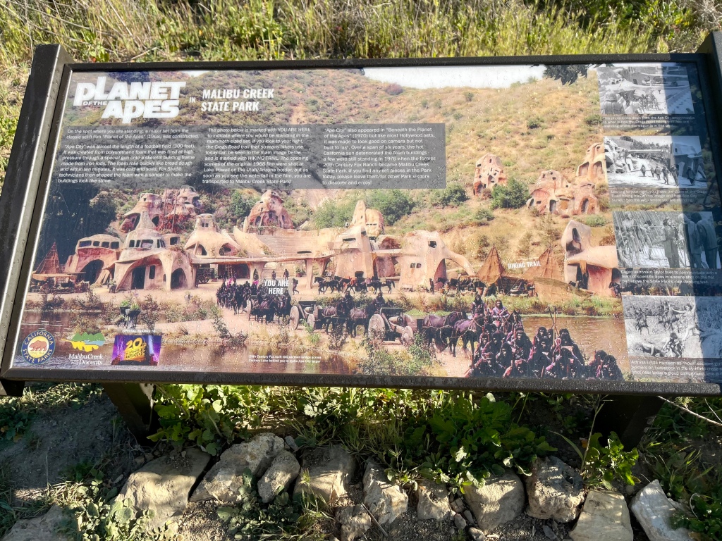
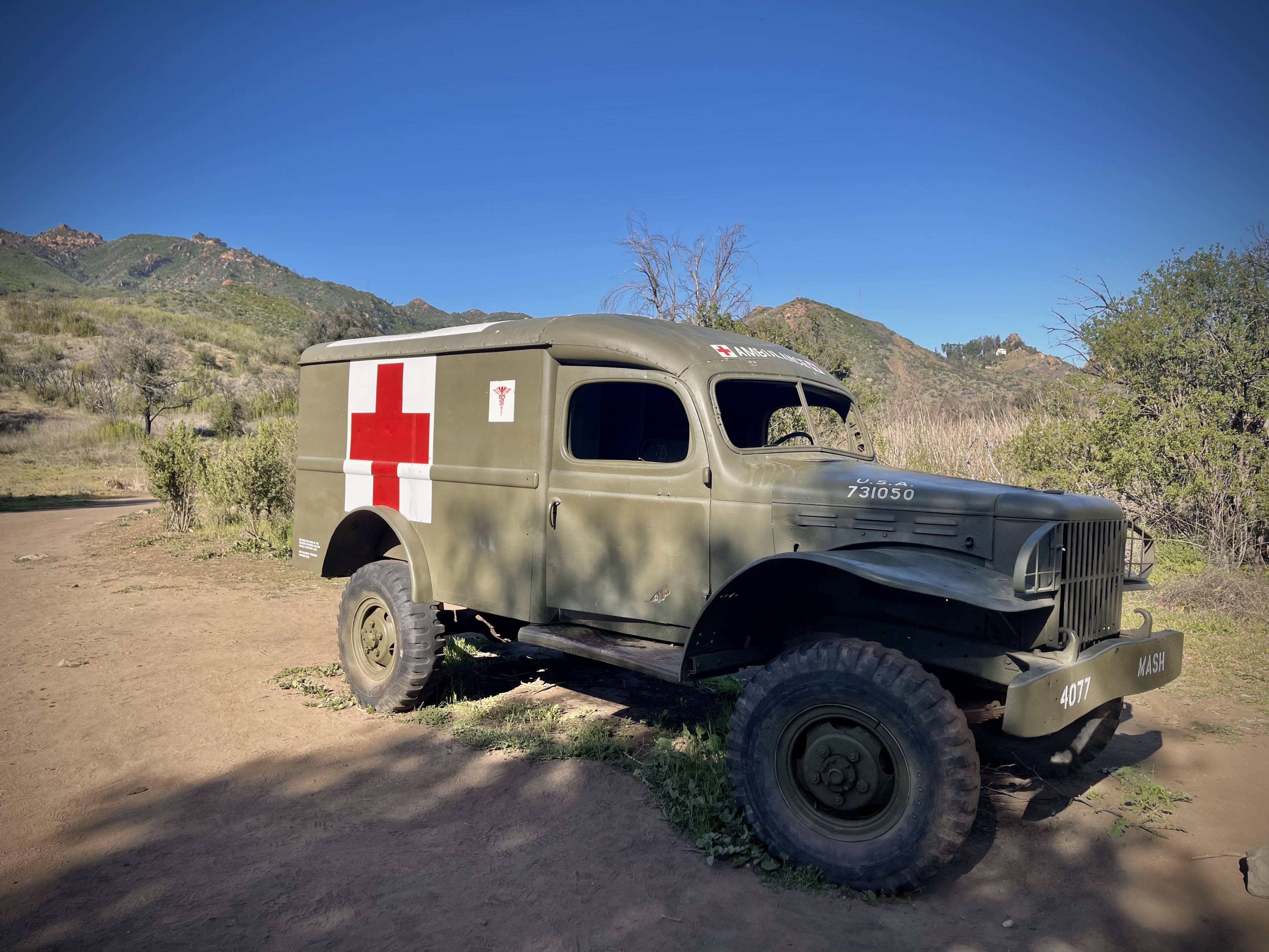
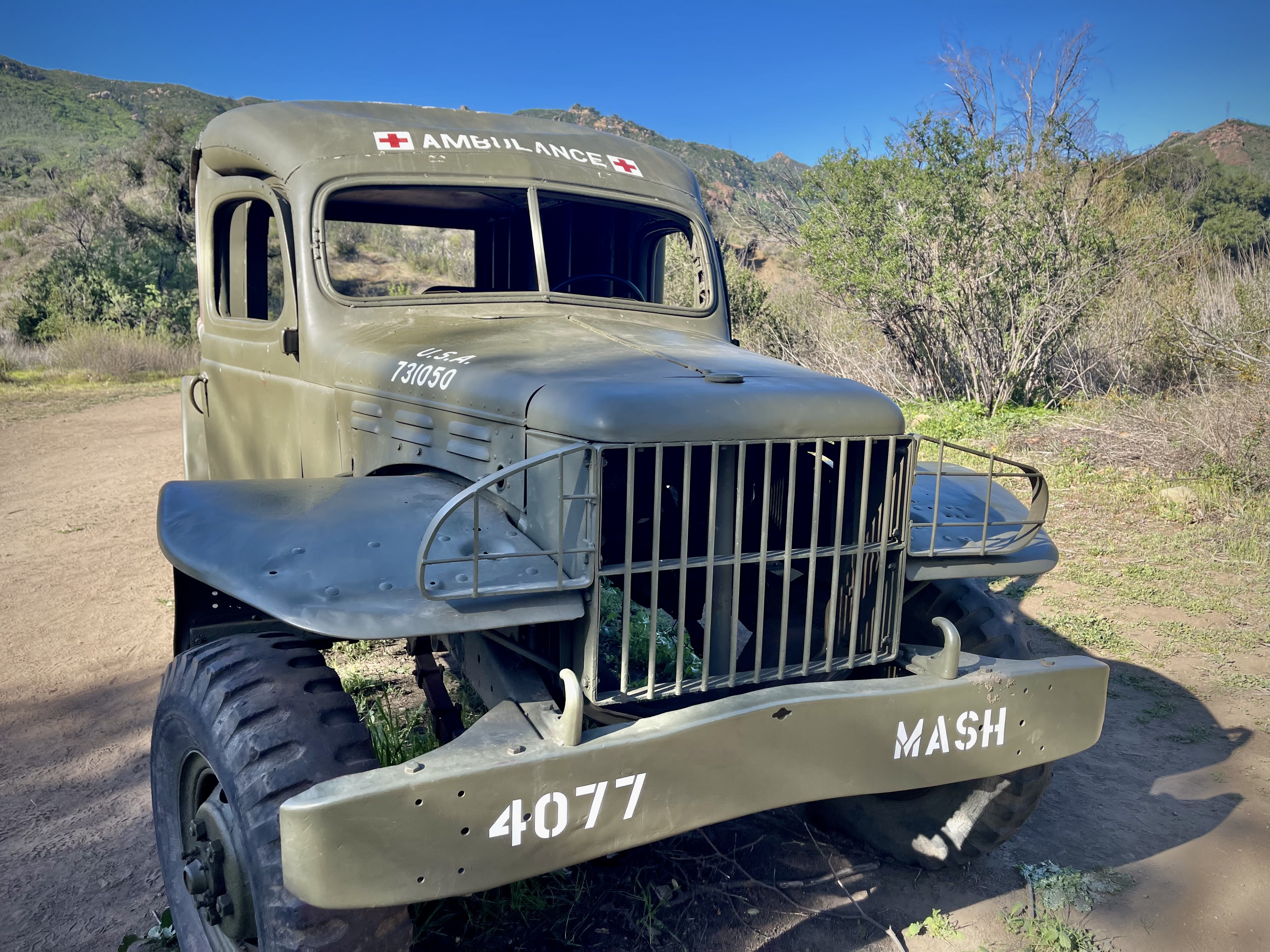
There was a placard showing the set of the Ape’s Village from ‘Planet of the Apes”. A favorite TV series of mine ‘M.A.S.H.’ had some great props. I could almost see the helicopters bringing in the wounded over the hill tops in the opening scene of the show, with Hawkeye Pierce, Major Houlihan, and Radar O’Riley directing them to the medical tents.
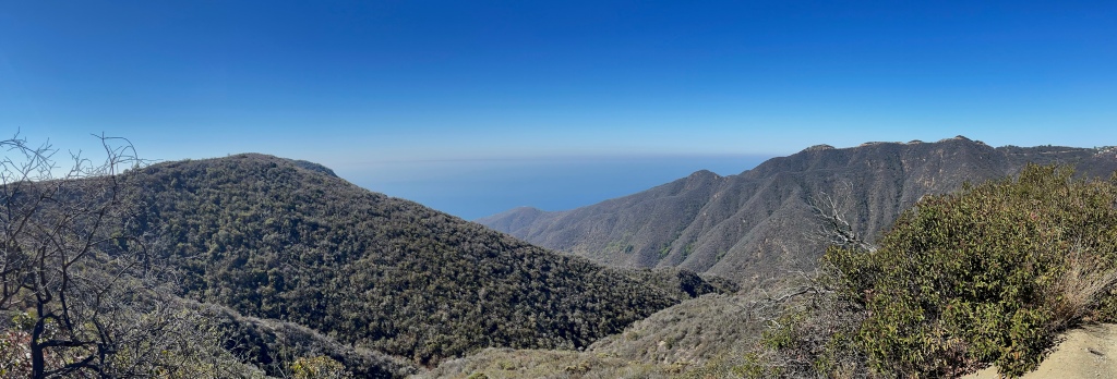
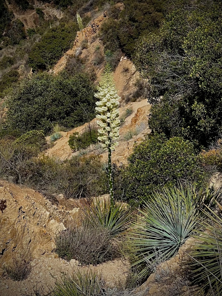
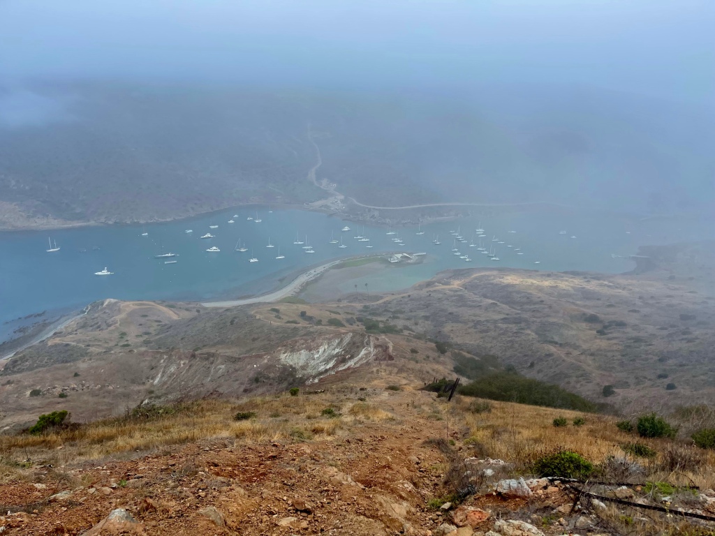
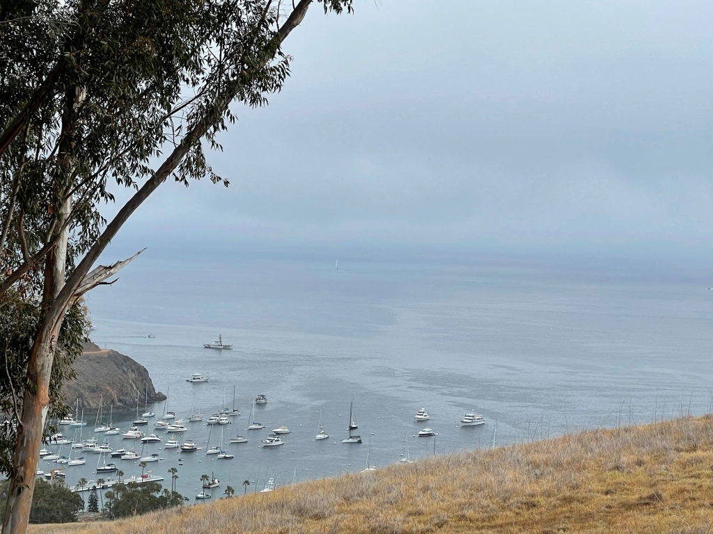
I added the Lost Cabin Trail, which brought me views of Goat Buttes and the rugged terrain in a less traveled remote part of the park. After returning to the ‘M.A.S.H.’ site I headed up for views from above, traveling on Bulldog Motorway/Lookout Road. This brought me into part of a neighborhood before dropping down on to Crags Road. I took a side excursion to see Malibu Lake and from there just working my way back. Near the end I took the High Road just to do something a little different. No really the route was called the “High Road”, lol.
I really enjoyed my day at Malibu Creek State Park, a place that the whole family can have an Easy stroll, or more adventurous stream crossings, and even head up for a view from above.


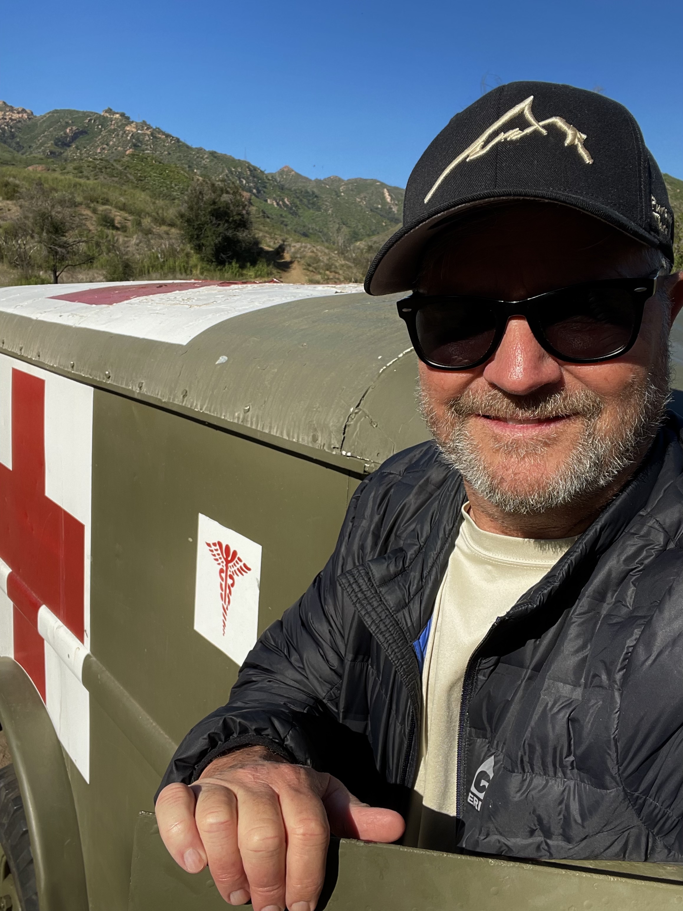


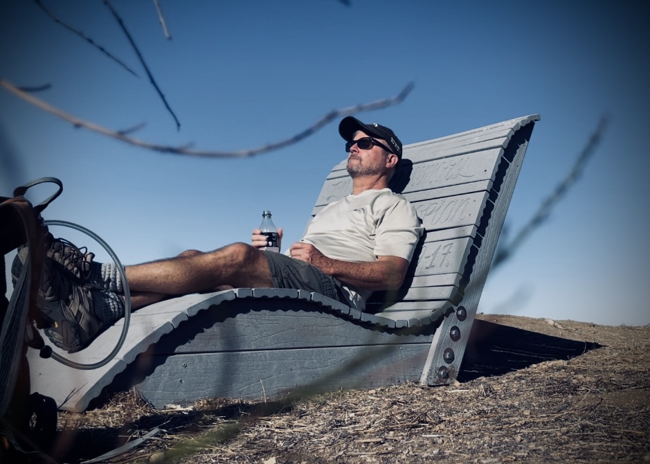
Thanks for coming along to my visit in Malibu Creek State Park as I was ‘Pursuing Balance Through Adventure’ in an alluring place that once was a Hollywood Movie Set, in fact it was like 100 movie sets. For more fun and excitement stayed tuned by doing this COMMENT, LIKE, FOLLOW and SHARE. The menu above will give you lots of ideas and inspiration for your next adventure. The menu is categorized by area and sometimes by activity, each is a separate website and thus needs to be FOLLOWED independently. You can find the hat I am modeling in the photos along with other top quality Adventure Wear at SHOP APPAREL.
Happy Trails-
Roger Jenkins
Pursuing Balance Through Adventure